
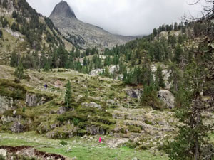
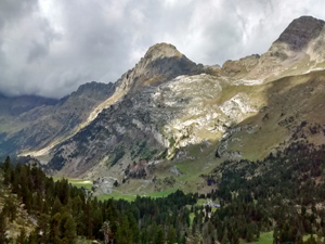
GR11 – Day 23. Puente de San Chaime to Refugio Renclusa
A lovely short walk in the heart of the mountains.
Spanish maps included within these descriptions are provided courtesy of the Spanish IGN and remain © Instituto Geográfico Nacional.
OSM (OpenStreetMap) and OCM (OpenCycleMap) maps are © OpenStreetMap Contributors. The OSM project welcomes contributions from all to enrich the map data, which is made freely available. Land (Thunderforest Landscape) maps are © Thunderforest based on data © OpenStreetMap contributors.
The grade of this walk is MS/A, which means
MS – Moderately Strenuous: Up to 600 metres ascent and/or no more than 15 km in length with some rough going taken at a reasonable pace.
A – All on good tracks
| Nearest town | Benasque |
| Directions to start |
The N260 runs E-W along the central par of N Spain. From this find the A139 heading N to Benasque. Follow this road past Benasque for several kilometers and 2km before it ends take a concrete road dropping to the R and signed to Hotel Hospital de Benasque. Park in the hotel car park! |
| Start point (Lat/Long) | 42.683886, 0.611891 Click here to view in Google Maps (in a new browser tab) |
| Length (km) | 5.50 |
| Ascent (metres) | 450 |
| Walking time (hours) | 2.00 |
| Total time (hours) | 2.50 |
| Recommendations or Restrictions | None. Refuge is in remote mountain location. |
Download walk descriptionDownload GPS file
Comments
GR11 – Day 23. Puente de San Chaime to Refugio Renclusa — No Comments
HTML tags allowed in your comment: <a href="" title=""> <abbr title=""> <acronym title=""> <b> <blockquote cite=""> <cite> <code> <del datetime=""> <em> <i> <q cite=""> <s> <strike> <strong>