
GR11 – Day 9 from Hirriberri to Ochagavia
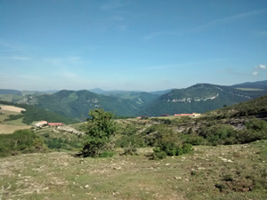
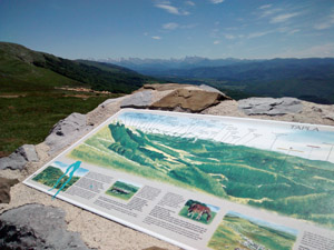
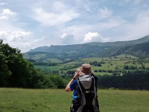
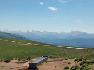
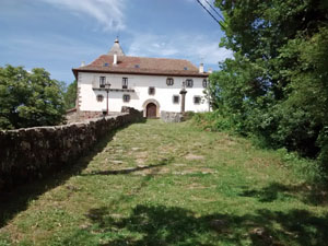
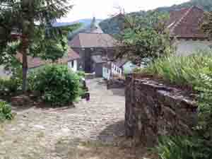
Excellent walk up Berrendi (with first views of high mountains) and then high moorland walking before descending past the delightful Ermita and equally pretty village of Ochagavia.
Spanish maps included within these descriptions are provided courtesy of the Spanish IGN and remain © Instituto Geográfico Nacional.
OSM (OpenStreetMap) and OCM (OpenCycleMap) maps are © OpenStreetMap Contributors. The OSM project welcomes contributions from all to enrich the map data, which is made freely available. Land (Thunderforest Landscape) maps are © Thunderforest based on data © OpenStreetMap contributors.
The grade of this walk is VS/A, which means
VS – Very Strenuous: More than 800 metres ascent and/or more than 20km in length with steep, loose or heavily vegetated sections.
A – All on good tracks
| Nearest town | Hirriberri |
| Directions to start |
In the Irati valley on the NA140, NW of Pamplona and close to the F/Sp border. Turn off this road in Aribe to follow a small road directly to the village In the village very street is known as Calle San Salvador. Make your way to the NE corner of the village to find a large sign illustrating today’s route. |
| Start point (Lat/Long) | 42.946619, -1.228595 Click here to view in Google Maps (in a new browser tab) |
| Length (km) | 21.50 |
| Ascent (metres) | 900 |
| Walking time (hours) | 5.50 |
| Total time (hours) | 8.00 |
| Recommendations or Restrictions | None |
Download walk descriptionDownload GPS file
Comments
GR11 – Day 9 from Hirriberri to Ochagavia — No Comments
HTML tags allowed in your comment: <a href="" title=""> <abbr title=""> <acronym title=""> <b> <blockquote cite=""> <cite> <code> <del datetime=""> <em> <i> <q cite=""> <s> <strike> <strong>