
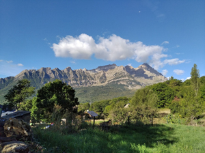
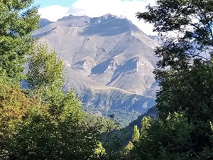
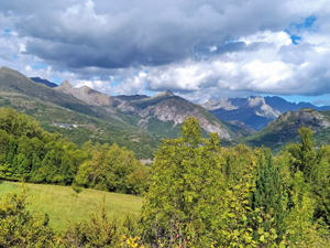
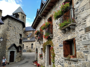
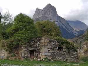
Hoz de Jaca to Lanuza
An undulating walk along the valley which dips down to Panticosa about half way along. Tree lined path to Panticosa and wide tracks with sweeping views after this.
Spanish maps included within these descriptions are provided courtesy of the Spanish IGN and remain © Instituto Geográfico Nacional.
OSM (OpenStreetMap) and OCM (OpenCycleMap) maps are © OpenStreetMap Contributors. The OSM project welcomes contributions from all to enrich the map data, which is made freely available. Land (Thunderforest Landscape) maps are © Thunderforest based on data © OpenStreetMap contributors.
The grade of this walk is MS/A, which means
MS – Moderately Strenuous: Up to 600 metres ascent and/or no more than 15 km in length with some rough going taken at a reasonable pace.
A – All on good tracks
| Nearest town | Hoz de Jaca |
| Directions to start |
The N260 road skirts along the Pyrenean chain in Spain from E to W. At Biescas the A136 road heads N towards France to turn R on a minor road just to the S of the Embalse de Lanuza. Follow this around the edge of the lake to reach the village with parking just on the outskirts. |
| Start point (Lat/Long) | 42.691770, -0.304370 Click here to view in Google Maps (in a new browser tab) |
| Length (km) | 12.00 |
| Ascent (metres) | 415 |
| Walking time (hours) | 3.33 |
| Total time (hours) | 4.5 |
| Recommendations or Restrictions | None. Car shuffle needed. |
Download walk descriptionDownload GPS file
Comments
Hoz de Jaca to Lanuza — No Comments
HTML tags allowed in your comment: <a href="" title=""> <abbr title=""> <acronym title=""> <b> <blockquote cite=""> <cite> <code> <del datetime=""> <em> <i> <q cite=""> <s> <strike> <strong>