
Javea La Plana
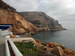
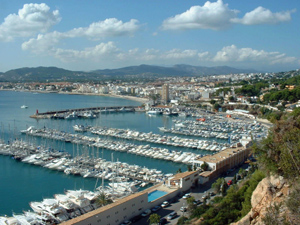
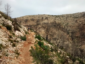
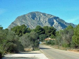
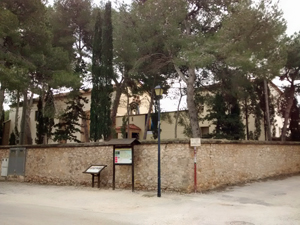
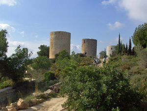
A delightful coastal walk with some fine views. Our route takes us to the windmills, down to the port, up to the lighthouse then along La Plana, past the monastery and back to the restaurant.
Spanish maps included within these descriptions are provided courtesy of the Spanish IGN and remain © Instituto Geográfico Nacional.
OSM (OpenStreetMap) and OCM (OpenCycleMap) maps are © OpenStreetMap Contributors. The OSM project welcomes contributions from all to enrich the map data, which is made freely available. Land (Thunderforest Landscape) maps are © Thunderforest based on data © OpenStreetMap contributors.
The grade of this walk is M/A, which means
M – Moderate: up to 12km in length, less than 400 metres ascent and less than 50% rough going.
A – All on good tracks
| Nearest town | Javea |
| Directions to start |
Restaurante Amanacer. Take the CV 736 Javea to Denia road and at the top turn R (L if coming from Denia into Carretera de Sant Antonio and signed “Cap de Sant Antonio and Els Molins”. Restaurant is on the RHS. |
| Start point (Lat/Long) | 38.803372, 0.163475 Click here to view in Google Maps (in a new browser tab) |
| Length (km) | 11.00 |
| Ascent (metres) | 200 |
| Walking time (hours) | 2.50 |
| Total time (hours) | 3.25 |
| Recommendations or Restrictions |
Download walk descriptionDownload GPS file
Comments
Javea La Plana — No Comments
HTML tags allowed in your comment: <a href="" title=""> <abbr title=""> <acronym title=""> <b> <blockquote cite=""> <cite> <code> <del datetime=""> <em> <i> <q cite=""> <s> <strike> <strong>