
La Safor circuit from Beniali
Warning – this route is very difficult to pass in the middle sections due to vegetation growth and general neglect. It may be re-written in the future.
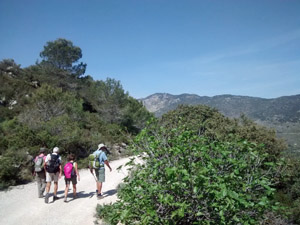
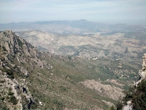
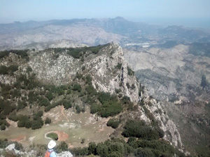
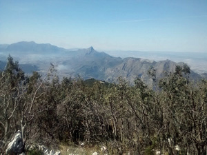
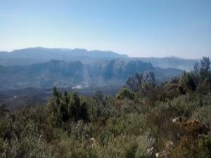
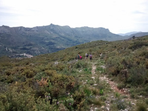
A tough day’s outing over one mountain range to reach a second that is rough and unforgiving. However the top has volcano like characteristics and views N and W that are unparalleled.
Spanish maps included within these descriptions are provided courtesy of the Spanish IGN and remain © Instituto Geográfico Nacional.
OSM (OpenStreetMap) and OCM (OpenCycleMap) maps are © OpenStreetMap Contributors. The OSM project welcomes contributions from all to enrich the map data, which is made freely available. Land (Thunderforest Landscape) maps are © Thunderforest based on data © OpenStreetMap contributors.
The grade of this walk is VS/C, which means
VS – Very Strenuous: More than 800 metres ascent and/or more than 20km in length with steep, loose or heavily vegetated sections.
C – More than half the route on rough ground.
| Nearest town | Beniali |
| Directions to start |
Follow the CV700 from Pego, through Adsubia and on to Beniali. Park in car park (with bins) just before you enter the village |
| Start point (Lat/Long) | 38.821859, -0.219969 Click here to view in Google Maps (in a new browser tab) |
| Length (km) | 20.00 |
| Ascent (metres) | 900 |
| Walking time (hours) | 5.25 |
| Total time (hours) | 7.00 |
| Recommendations or Restrictions | Care following thin mountain paths and stamina for a long day out. |
Download walk descriptionDownload GPS file
Comments
La Safor circuit from Beniali — No Comments
HTML tags allowed in your comment: <a href="" title=""> <abbr title=""> <acronym title=""> <b> <blockquote cite=""> <cite> <code> <del datetime=""> <em> <i> <q cite=""> <s> <strike> <strong>