
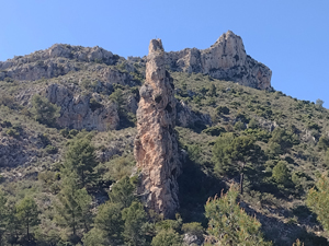
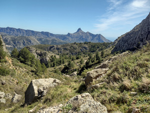
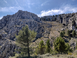
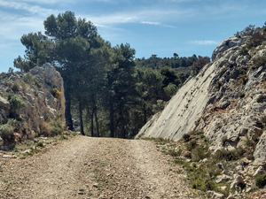
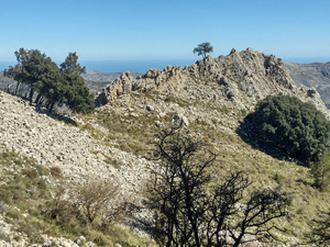
Morro Blau, Barranco Negra circuit
A demanding ascent up a woodland path to reach a fire watchtower, then a stroll around a track to reach a descending path alongside a barranco with extensive and interesting views and return through fruit terraces.
Spanish maps included within these descriptions are provided courtesy of the Spanish IGN and remain © Instituto Geográfico Nacional.
OSM (OpenStreetMap) and OCM (OpenCycleMap) maps are © OpenStreetMap Contributors. The OSM project welcomes contributions from all to enrich the map data, which is made freely available. Land (Thunderforest Landscape) maps are © Thunderforest based on data © OpenStreetMap contributors.
The grade of this walk is VS/B, which means
VS – Very Strenuous: More than 800 metres ascent and/or more than 20km in length with steep, loose or heavily vegetated sections.
B – Less than half the route on rough ground.
| Nearest town | Callosa D’En Sarria |
| Directions to start |
From Altea direction at main roundabout in Callosa d’En Sarria take 2nd street on R (Avinguda Jaume1) then R fork in front of Banco Santander (not a bank now) -go up hill then downhill, cross a junction and turn up Calle D’en Sarria – continue for 2.7kms on narrow surfaced road (pass Urb. Almedia at RHS) and follow to park near a concrete casita. |
| Start point (Lat/Long) | 38.672417, -0.134233 Click here to view in Google Maps (in a new browser tab) |
| Length (km) | 12.50 |
| Ascent (metres) | 900 |
| Walking time (hours) | 3.75 |
| Total time (hours) | 5 |
| Recommendations or Restrictions | An early demanding ascent |
Download walk descriptionDownload GPS file
Comments
Morro Blau, Barranco Negra circuit — No Comments
HTML tags allowed in your comment: <a href="" title=""> <abbr title=""> <acronym title=""> <b> <blockquote cite=""> <cite> <code> <del datetime=""> <em> <i> <q cite=""> <s> <strike> <strong>