
Orba Orbital
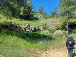
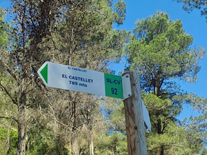
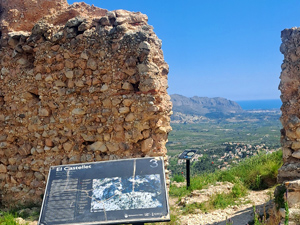
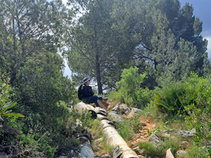
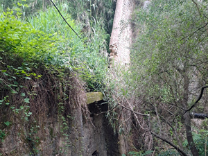
Starts through Orba to the summit of Castell de Orba. The views from here are panoramic. Down to the col de Murla, into the Barranco de Fontilles. From Fontilles to Font de Isbert.Track descends to a turn through a tunnel of canes,now on good paths and tracks to El Polvorin, then passing Font Roja into the Girona river valley.Return via orange groves and Palmeria to the start.
Spanish maps included within these descriptions are provided courtesy of the Spanish IGN and remain © Instituto Geográfico Nacional.
OSM (OpenStreetMap) and OCM (OpenCycleMap) maps are © OpenStreetMap Contributors. The OSM project welcomes contributions from all to enrich the map data, which is made freely available. Land (Thunderforest Landscape) maps are © Thunderforest based on data © OpenStreetMap contributors.
The grade of this walk is MS/B, which means
MS – Moderately Strenuous: Up to 600 metres ascent and/or no more than 15 km in length with some rough going taken at a reasonable pace.
B – Less than half the route on rough ground
| Nearest town | Orba |
| Directions to start |
Coming from Benidoleig, continue towards Orba on the CV 731 for 3.5 km to pass Mas y Mas( on L) to a T junction with various signs including La Val de Laguar and Fontilles. |
| Start point (Lat/Long) | 38.791432, -0.068470 Click here to view in Google Maps (in a new browser tab) |
| Length (km) | 12.50 |
| Ascent (metres) | 435 |
| Walking time (hours) | 5 |
| Total time (hours) | 5 |
| Recommendations or Restrictions | None |
Download walk descriptionDownload GPS file
Comments
Orba Orbital — No Comments
HTML tags allowed in your comment: <a href="" title=""> <abbr title=""> <acronym title=""> <b> <blockquote cite=""> <cite> <code> <del datetime=""> <em> <i> <q cite=""> <s> <strike> <strong>