
Orbeta Seguili circuit
A short circular route, challenging in its grade.
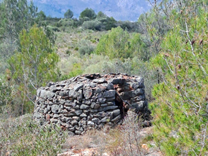
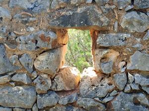
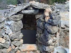
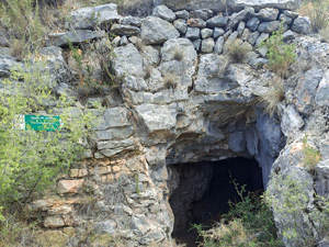
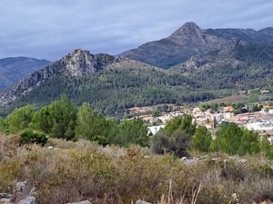
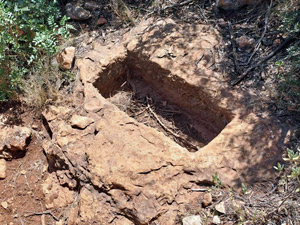
It has a steep urban start onto the Sierra de Seguili, sweeping around the top of a barranco above the Raco del Pastor. As part of this interesting walk we visit historic wells, ruins and a cave. The descent has several steep sections with earthy chutes (up to 25%)
Spanish maps included within these descriptions are provided courtesy of the Spanish IGN and remain © Instituto Geográfico Nacional.
OSM (OpenStreetMap) and OCM (OpenCycleMap) maps are © OpenStreetMap Contributors. The OSM project welcomes contributions from all to enrich the map data, which is made freely available. Land (Thunderforest Landscape) maps are © Thunderforest based on data © OpenStreetMap contributors.
The grade of this walk is M/B, which means
M – Moderate: up to 12km in length, less than 400 metres ascent and less than 50% rough going.
B – Less than half the route on rough ground
| Nearest town | Orba |
| Directions to start |
Coming from Benidoleig, continue on CV731 for 3km towards Orba. TURN left signed Urbanisation L’Apre.Continue for 450m to a marked parking area on the L. Park and meet here. |
| Start point (Lat/Long) | 38.780546, -0.058600 Click here to view in Google Maps (in a new browser tab) |
| Length (km) | 8.00 |
| Ascent (metres) | 320 |
| Walking time (hours) | 2.66 |
| Total time (hours) | 4.5 |
| Recommendations or Restrictions | The descent requires the ability to negotiate a steep descent on less than perfect surface. |
Download walk descriptionDownload GPS file
Comments
Orbeta Seguili circuit — No Comments
HTML tags allowed in your comment: <a href="" title=""> <abbr title=""> <acronym title=""> <b> <blockquote cite=""> <cite> <code> <del datetime=""> <em> <i> <q cite=""> <s> <strike> <strong>