
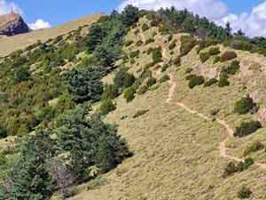
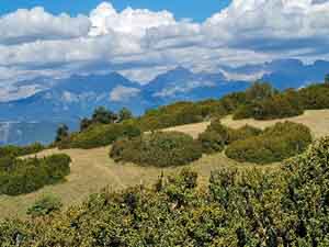
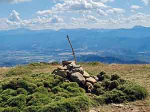
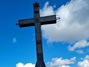
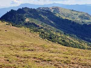
Pena Oroel
A tough zig zag path to the ridge that paybacks the effort with fantastic views of the Pyrenees and a lovely ridge walk along the top.
Spanish maps included within these descriptions are provided courtesy of the Spanish IGN and remain © Instituto Geográfico Nacional.
OSM (OpenStreetMap) and OCM (OpenCycleMap) maps are © OpenStreetMap Contributors. The OSM project welcomes contributions from all to enrich the map data, which is made freely available. Land (Thunderforest Landscape) maps are © Thunderforest based on data © OpenStreetMap contributors.
The grade of this walk is S/B, which means
S – Strenuous: More than 600 metres ascent and/or more than 15km in length with steep, loose or heavily vegetated sections.
B – Less than half the route on rough ground.
| Nearest town | Jaca |
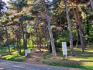
| Directions to start |
Take the A-1205 at the roundabout where we find a petrol station and McDonalds. Head towards Bernues/San Juan de la Peña. Follow this road for approx. 6km until you find the turning to the left to theParador de Oroel. After 2km on a single track good road you will find the Parador (closed) where there is a parking area where you can leave the vehicle. |
| Start point (Lat/Long) | 42.527460, -0.532000 Click here to view in Google Maps (in a new browser tab) |
| Length (km) | 12.00 |
| Ascent (metres) | 740 |
| Walking time (hours) | 3.25 |
| Total time (hours) | 5 |
| Recommendations or Restrictions | None |
Download walk descriptionDownload GPS file
Comments
Pena Oroel — No Comments
HTML tags allowed in your comment: <a href="" title=""> <abbr title=""> <acronym title=""> <b> <blockquote cite=""> <cite> <code> <del datetime=""> <em> <i> <q cite=""> <s> <strike> <strong>