
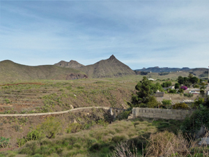
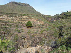
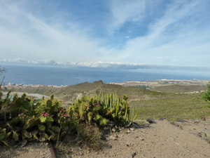
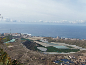
Playa de las Americas to Arona
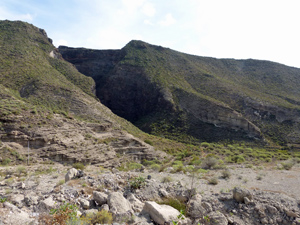
A starter walk to get you going on your ascent of Teide or the GR131. Much tarmac but also some grand scenery and a mozarabic path.
Spanish maps included within these descriptions are provided courtesy of the Spanish IGN and remain © Instituto Geográfico Nacional.
OSM (OpenStreetMap) and OCM (OpenCycleMap) maps are © OpenStreetMap Contributors. The OSM project welcomes contributions from all to enrich the map data, which is made freely available. Land (Thunderforest Landscape) maps are © Thunderforest based on data © OpenStreetMap contributors.
The grade of this walk is S/A, which means
S – Strenuous: More than 600 metres ascent and/or more than 15km in length with steep, loose or heavily vegetated sections.
A – All good tracks.
| Nearest town | Playa de las Americas |
| Directions to start |
Walk down to the sea front anywhere in Playa de las Americas and locate the monument at the junction of Avenida de Rafael Puig Llivina and Avenida V Centenario. |
| Start point (Lat/Long) | 28.068958, -16.732402 Click here to view in Google Maps (in a new browser tab) |
| Length (km) | 9.50 |
| Ascent (metres) | 700 |
| Walking time (hours) | 3.25 |
| Total time (hours) | 4.50 |
| Recommendations or Restrictions | None |
Download walk descriptionDownload GPS file

Comments
Playa de las Americas to Arona — No Comments
HTML tags allowed in your comment: <a href="" title=""> <abbr title=""> <acronym title=""> <b> <blockquote cite=""> <cite> <code> <del datetime=""> <em> <i> <q cite=""> <s> <strike> <strong>