
Refugi de Rialb via Refugi Borda de Sorteny (leading to Port de Siguer and Pic del Port de Seguer)
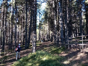
An easy stroll through some delightful countryside in the Rialb valley.
Spanish maps included within these descriptions are provided courtesy of the Spanish IGN and remain © Instituto Geográfico Nacional.
OSM (OpenStreetMap) and OCM (OpenCycleMap) maps are © OpenStreetMap Contributors. The OSM project welcomes contributions from all to enrich the map data, which is made freely available. Land (Thunderforest Landscape) maps are © Thunderforest based on data © OpenStreetMap contributors.
The grade of this walk is M/B, which means
M – Moderate: up to 12km in length, less than 400 metres ascent and less than 50% rough going.
B – Less than half the route on rough ground
| Nearest town | El Serrat |
| Directions to start |
From central Andorra take the road up through Ordino and El Serrat to reach an awkward turning (signed) to the R to reach the limited parking. |
| Start point (Lat/Long) | 42.626277, 1.551627 Click here to view in Google Maps (in a new browser tab) |
| Length (km) | 8.00 |
| Ascent (metres) | 385 |
| Walking time (hours) | 2.66 |
| Total time (hours) | 4.5 |
| Recommendations or Restrictions | None. Can extend this walk up to a col on the RHS above the refuge or ahead to the top of the valley. |
Download walk descriptionDownload GPS file
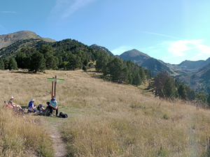
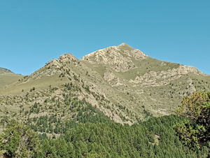
Excellent walk. I recommend extending the walk up to the ridge overlooking Etang Blaou.The path is easy to follow and the views from the ridge into France are well worth the effort. Some of our group made the circuit around pic de Soulanet to rejoin the valley trail – which was a well defined trail and provided amazing scenery.