
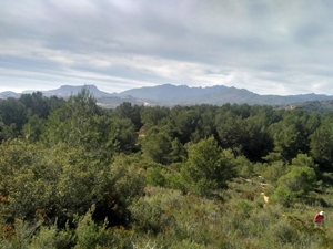
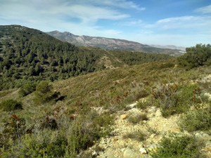
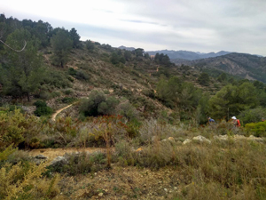
Ruta del Riberer from Benissa
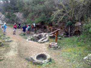
Ruta del Riberer, part of Soldetes. Interesting art work, font and ruins of fincas lead to the summit of Serrellars.
Spanish maps included within these descriptions are provided courtesy of the Spanish IGN and remain © Instituto Geográfico Nacional.
OSM (OpenStreetMap) and OCM (OpenCycleMap) maps are © OpenStreetMap Contributors. The OSM project welcomes contributions from all to enrich the map data, which is made freely available. Land (Thunderforest Landscape) maps are © Thunderforest based on data © OpenStreetMap contributors.
The grade of this walk is MS/B, which means
MS – Moderately Strenuous: Up to 600 metres ascent and/or no more than 15 km in length with some rough going taken at a reasonable pace.
B – Less than half the route on rough ground
| Nearest town | Benissa |
| Directions to start |
Leave the roundabout from the N332 towards the motorway at junction 63 and almost immediately turn R onto a small cami. Follow signs to the cementerio. |
| Start point (Lat/Long) | 38.729968, 0.055838 Click here to view in Google Maps (in a new browser tab) |
| Length (km) | 14.00 |
| Ascent (metres) | 410 |
| Walking time (hours) | 3.66 |
| Total time (hours) | 5 |
| Recommendations or Restrictions | None |
Download walk descriptionDownload GPS file


Comments
Ruta del Riberer from Benissa — No Comments
HTML tags allowed in your comment: <a href="" title=""> <abbr title=""> <acronym title=""> <b> <blockquote cite=""> <cite> <code> <del datetime=""> <em> <i> <q cite=""> <s> <strike> <strong>