
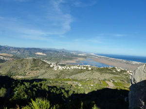
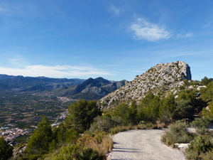
Segaria West End
A pleasant walk up to the ridge (twice) and around the west end of the mountain. An optional shorter route that goes to the ridge only once is also described.
Spanish maps included within these descriptions are provided courtesy of the Spanish IGN and remain © Instituto Geográfico Nacional.
OSM (OpenStreetMap) and OCM (OpenCycleMap) maps are © OpenStreetMap Contributors. The OSM project welcomes contributions from all to enrich the map data, which is made freely available. Land (Thunderforest Landscape) maps are © Thunderforest based on data © OpenStreetMap contributors.
The grade of this walk is MS/B, which means
MS – Moderately Strenuous: Up to 600 metres ascent and/or no more than 15 km in length with some rough going taken at a reasonable pace.
B – Less than half the route on rough ground
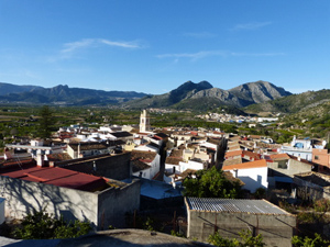
| Nearest town | Benimeli |
| Directions to start |
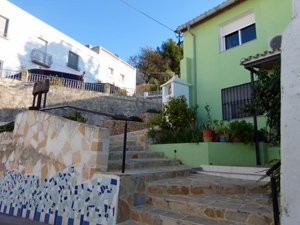
Take the CV729 to Benimeli. In centre of Benimeli turn off the CV729 following brown sign “Pou de Baix”. Park near outdoor piscina. |
| Start point (Lat/Long) | 38.820390, -0.043004 Click here to view in Google Maps (in a new browser tab) |
| Length (km) | 8.50 |
| Ascent (metres) | 500 |
| Walking time (hours) | 2.00 |
| Total time (hours) | 2.75 |
| Recommendations or Restrictions |
Download walk descriptionDownload GPS file
Comments
Segaria West End — No Comments
HTML tags allowed in your comment: <a href="" title=""> <abbr title=""> <acronym title=""> <b> <blockquote cite=""> <cite> <code> <del datetime=""> <em> <i> <q cite=""> <s> <strike> <strong>