
Segaria West End from Rafol
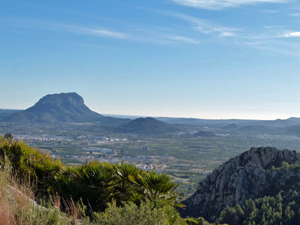
A pleasant walk up to the ridge (twice) and around the west end of the mountain. An optional shorter route that goes to the ridge only once is also described. Ideal for an optional lunch after
Spanish maps included within these descriptions are provided courtesy of the Spanish IGN and remain © Instituto Geográfico Nacional.
OSM (OpenStreetMap) and OCM (OpenCycleMap) maps are © OpenStreetMap Contributors. The OSM project welcomes contributions from all to enrich the map data, which is made freely available. Land (Thunderforest Landscape) maps are © Thunderforest based on data © OpenStreetMap contributors.
The grade of this walk is MS/B, which means
MS – Moderately Strenuous: Up to 600 metres ascent and/or no more than 15 km in length with some rough going taken at a reasonable pace.
B – Less than half the route on rough ground
| Nearest town | Rafol de Almunia |
| Directions to start |
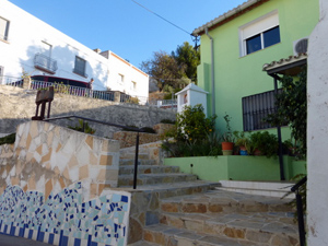
From the N332 take the CV731 to Orba and Benidoleig. Turn R at the second island to Beniarbeig CV732. Go L immediately after the bridge onto the CV729 signed to Sagra. Ignore two RH turns to Sanet I Negrals and follow bypass to Benimeli. Go L at island, continue through Benimeli to Rafol. Turn first R, signed Centro Urban,(if approaching from Sagra it’s the last turning L) first R again, over the bridge, R onto main road and immediately R again. Continue to end and R into the Rafol D’Almunia Centre Social (known as the Piscina bar) car park |
| Start point (Lat/Long) | 38.821911, -0.050353 Click here to view in Google Maps (in a new browser tab) |
| Length (km) | 10.50 |
| Ascent (metres) | 520 |
| Walking time (hours) | 3.00 |
| Total time (hours) | 4.00 |
| Recommendations or Restrictions | None |
Download walk descriptionDownload GPS file
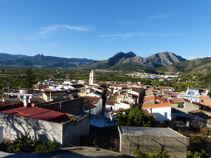
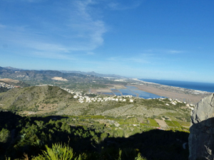
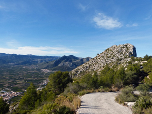
Again a marvelous walk. Super views and nice tracks. Nice start through Benimeli