
Serra de Besa and Penya Talai
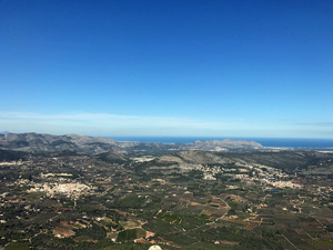
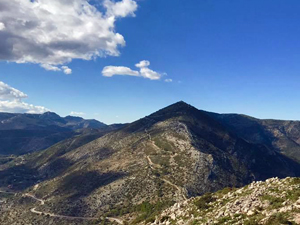
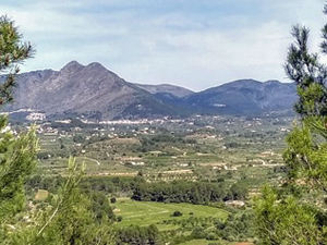
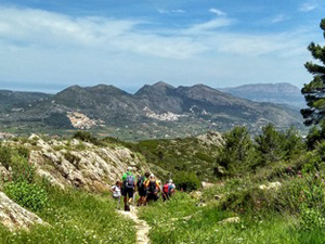
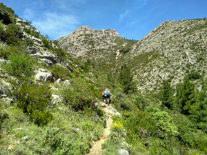
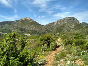
Constantly improving views on this hill and mountain walk with 360 views of many of the Costa Blanca’s finest mountains from the summit of Talai. Rough going up and down this peak, otherwise good paths.
Spanish maps included within these descriptions are provided courtesy of the Spanish IGN and remain © Instituto Geográfico Nacional.
OSM (OpenStreetMap) and OCM (OpenCycleMap) maps are © OpenStreetMap Contributors. The OSM project welcomes contributions from all to enrich the map data, which is made freely available. Land (Thunderforest Landscape) maps are © Thunderforest based on data © OpenStreetMap contributors.
The grade of this walk is S/B, which means
S – Strenuous: More than 600 metres ascent and/or more than 15km in length with steep, loose or heavily vegetated sections.
B – Less than half the route on rough ground.
| Nearest town | Jalon |
| Directions to start |
Jalon, Rastro car park. Car park under trees opposite Alleluya Bar at Information Office. |
| Start point (Lat/Long) | 38.743931, -0.017188 Click here to view in Google Maps (in a new browser tab) |
| Length (km) | 13.00 |
| Ascent (metres) | 685 |
| Walking time (hours) | 3.5 |
| Total time (hours) | 5 |
| Recommendations or Restrictions | The rocky ascent of Talai can be omitted if necessary . |
Download walk descriptionDownload GPS file
Comments
Serra de Besa and Penya Talai — No Comments
HTML tags allowed in your comment: <a href="" title=""> <abbr title=""> <acronym title=""> <b> <blockquote cite=""> <cite> <code> <del datetime=""> <em> <i> <q cite=""> <s> <strike> <strong>