
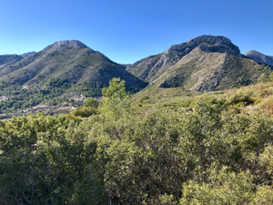
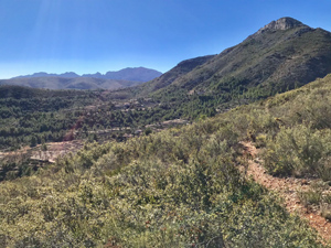
Serra de Besa Circuit (summit optional)
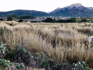
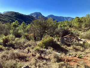
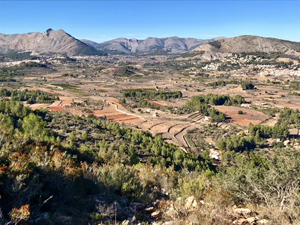
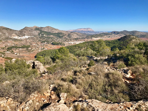
Pleasant tracks and country lanes to and back from the base of the Serra de Besa. Steeply up the flanks of a barranco, then up and across this low laying ridge, with lovely views from both sides (a little rough and scratchy in places). Then doubling back along its flank through beautiful woodland. Quite a tough walk for its grade and complicated route finding.
Spanish maps included within these descriptions are provided courtesy of the Spanish IGN and remain © Instituto Geográfico Nacional.
OSM (OpenStreetMap) and OCM (OpenCycleMap) maps are © OpenStreetMap Contributors. The OSM project welcomes contributions from all to enrich the map data, which is made freely available. Land (Thunderforest Landscape) maps are © Thunderforest based on data © OpenStreetMap contributors.
The grade of this walk is M/B, which means
M – Moderate: up to 12km in length, less than 400 metres ascent and less than 50% rough going.
B – Less than half the route on rough ground
| Nearest town | Alcalali |
| Directions to start |
Coming from all directions to Alcalali, where at the edge of the town the CV-720 from Pedreguer (at km 0) junctions with the CV-750 (km 2.2) from Jalon (Xalo). There is a small car park on the NE corner beside the intersection, with more parking bays on the roadside opposite. |
| Start point (Lat/Long) | 38.752250, -0.041410 Click here to view in Google Maps (in a new browser tab) |
| Length (km) | 12.00 |
| Ascent (metres) | 370 |
| Walking time (hours) | 2 |
| Total time (hours) | 4.5 |
| Recommendations or Restrictions | None |
Download walk descriptionDownload GPS file
Comments
Serra de Besa Circuit (summit optional) — No Comments
HTML tags allowed in your comment: <a href="" title=""> <abbr title=""> <acronym title=""> <b> <blockquote cite=""> <cite> <code> <del datetime=""> <em> <i> <q cite=""> <s> <strike> <strong>