
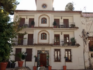
Serra Gallinera
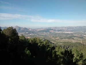
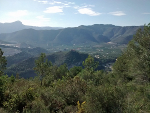
A walk along the wooded ridge of the Serra Gallinera to the pretty village of Forna and return by a largely different route. Occasional views N and S.
Spanish maps included within these descriptions are provided courtesy of the Spanish IGN and remain © Instituto Geográfico Nacional.
OSM (OpenStreetMap) and OCM (OpenCycleMap) maps are © OpenStreetMap Contributors. The OSM project welcomes contributions from all to enrich the map data, which is made freely available. Land (Thunderforest Landscape) maps are © Thunderforest based on data © OpenStreetMap contributors.
The grade of this walk is VS/B, which means
VS – Very Strenuous: More than 800 metres ascent and/or more than 20km in length with steep, loose or heavily vegetated sections.
B – Less than half the route on rough ground.
| Nearest town | Oliva |
| Directions to start |
From the N332 to the N of Oliva take the CV638 towards La Font d’en Carros. Drive for 2.6km under the motorway to reach a set of traffic lights where you turn L at a sign to Tossal Gros into the Urb Bella Vista. Follow the zig-zag road steadily uphill ignoring side turnings to arrive at a T-jnc with a plan of the urbanisation and here turn L. When you drop down hill a little you reach a cross roads with a (closed) Tossal restaurant on the RHS. Go straight across this and zig-zag uphill to arrive at a fenced enclosure (masts) where the road ends and a track starts. Park here. |
| Start point (Lat/Long) | 38.912429, -0.142831 Click here to view in Google Maps (in a new browser tab) |
| Length (km) | 16.00 |
| Ascent (metres) | 810 |
| Walking time (hours) | 4.50 |
| Total time (hours) | 5.50 |
| Recommendations or Restrictions | None |
Download walk descriptionDownload GPS file
Comments
Serra Gallinera — No Comments
HTML tags allowed in your comment: <a href="" title=""> <abbr title=""> <acronym title=""> <b> <blockquote cite=""> <cite> <code> <del datetime=""> <em> <i> <q cite=""> <s> <strike> <strong>