
Teide from Sea to Summit – Ifonche to Vilaflor
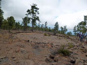
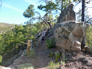
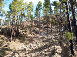
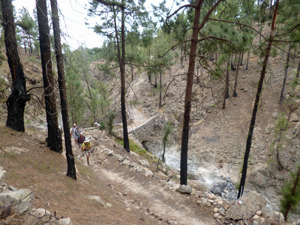
A delightful ascent through wooded slopes of volcanic rock. The route follows the GR131 which is clearly delineated the whole way.
Spanish maps included within these descriptions are provided courtesy of the Spanish IGN and remain © Instituto Geográfico Nacional.
OSM (OpenStreetMap) and OCM (OpenCycleMap) maps are © OpenStreetMap Contributors. The OSM project welcomes contributions from all to enrich the map data, which is made freely available. Land (Thunderforest Landscape) maps are © Thunderforest based on data © OpenStreetMap contributors.
The grade of this walk is VS/A, which means
VS – Very Strenuous: More than 800 metres ascent and/or more than 20km in length with steep, loose or heavily vegetated sections.
A – All on good tracks
| Nearest town | Teide from Sea to Summit |
| Directions to start |
Follow the main Teide road (TF51) up from the coastal resorts of Playa de las Americas and Los Cristianos and turn L past Arona on the TF567 towards Ifonche. Park just beyond the restaurant of El Dornajo. |
| Start point (Lat/Long) | 28.134961, -16.689933 Click here to view in Google Maps (in a new browser tab) |
| Length (km) | 12.40 |
| Ascent (metres) | 860 |
| Walking time (hours) | 3.50 |
| Total time (hours) | 5.25 |
| Recommendations or Restrictions | Transport to start required. Public buses run from Vilaflor back to the coast. |
Download walk descriptionDownload GPS file
Comments
Teide from Sea to Summit – Ifonche to Vilaflor — No Comments
HTML tags allowed in your comment: <a href="" title=""> <abbr title=""> <acronym title=""> <b> <blockquote cite=""> <cite> <code> <del datetime=""> <em> <i> <q cite=""> <s> <strike> <strong>