
The cave art and castle of Benirrama
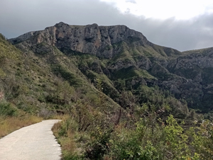
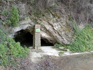
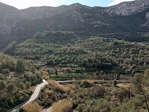
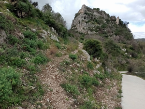
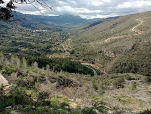
A meandering route visiting the caged Rock Art (Pintures Rupestres) opposite the village before climbing to the castle. Wide ranging views throughout. Just one short steep climb (30m) on the return but otherwise on easy paths throughout.
Spanish maps included within these descriptions are provided courtesy of the Spanish IGN and remain © Instituto Geográfico Nacional.
OSM (OpenStreetMap) and OCM (OpenCycleMap) maps are © OpenStreetMap Contributors. The OSM project welcomes contributions from all to enrich the map data, which is made freely available. Land (Thunderforest Landscape) maps are © Thunderforest based on data © OpenStreetMap contributors.
The grade of this walk is M/A, which means
M – Moderate: up to 12km in length, less than 400 metres ascent and less than 50% rough going.
A – All on good tracks
| Nearest town | Benirrama |
| Directions to start |
Take the CV700 from Pego past Adsubia and on up the Gallinera valley. Reach a turning on the L (CV170) to Benirrama. Bear R uphill as you enter the village to a parking area on the LHS. |
| Start point (Lat/Long) | 38.830462, -0.196594 Click here to view in Google Maps (in a new browser tab) |
| Length (km) | 10.50 |
| Ascent (metres) | 380 |
| Walking time (hours) | 3.5 |
| Total time (hours) | 4.5 |
| Recommendations or Restrictions | None |
Download walk descriptionDownload GPS file
Comments
The cave art and castle of Benirrama — No Comments
HTML tags allowed in your comment: <a href="" title=""> <abbr title=""> <acronym title=""> <b> <blockquote cite=""> <cite> <code> <del datetime=""> <em> <i> <q cite=""> <s> <strike> <strong>