
The Eye of Montgo via Mont Putxol
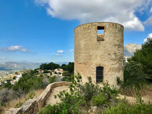
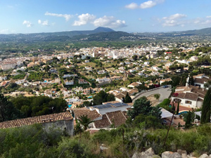
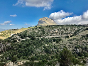
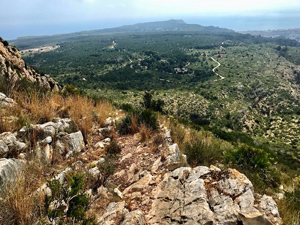
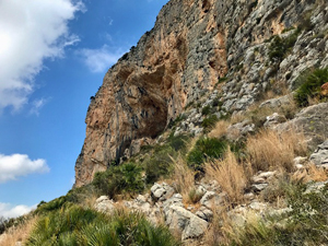
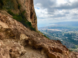
Taking in various points of interest. The route though a little convoluted is a nice way to approach the eye. Taking in some Molins, a Civil War memorial, sections of woodland. Access into the interior of the cave requires scrambling but is optional. Mainly good level paths, but some are steep, with exposed views and great scenery. Plus, a very convenient cafe at the end.
Spanish maps included within these descriptions are provided courtesy of the Spanish IGN and remain © Instituto Geográfico Nacional.
OSM (OpenStreetMap) and OCM (OpenCycleMap) maps are © OpenStreetMap Contributors. The OSM project welcomes contributions from all to enrich the map data, which is made freely available. Land (Thunderforest Landscape) maps are © Thunderforest based on data © OpenStreetMap contributors.
The grade of this walk is MS/B, which means
MS – Moderately Strenuous: Up to 600 metres ascent and/or no more than 15 km in length with some rough going taken at a reasonable pace.
B – Less than half the route on rough ground
| Nearest town | Javea |
| Directions to start |
From the CV-736 at the top of the pass between Javea & Denia. Turn east towards the lighthouse onto C’ del Cap de Sant Antoni. In 400 metres turn R onto Cami Curt immediately beside the Restaurant Amenacer (It looks like their car park). Drive behind it and park at the side of the road. |
| Start point (Lat/Long) | 38.803020, 0.163720 Click here to view in Google Maps (in a new browser tab) |
| Length (km) | 8.80 |
| Ascent (metres) | 420 |
| Walking time (hours) | 3 |
| Total time (hours) | 4 |
| Recommendations or Restrictions | There is some mild exposure on the final approach to the eye. |
Download walk descriptionDownload GPS file
Comments
The Eye of Montgo via Mont Putxol — No Comments
HTML tags allowed in your comment: <a href="" title=""> <abbr title=""> <acronym title=""> <b> <blockquote cite=""> <cite> <code> <del datetime=""> <em> <i> <q cite=""> <s> <strike> <strong>