
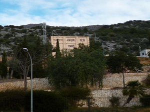
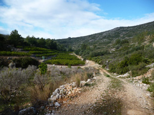
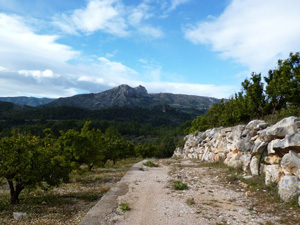
Tormos easy circuit via Isbert’s dam.
A pleasant afternoon stroll or pre-lunch appetizer in dramatic countryside.
Spanish maps included within these descriptions are provided courtesy of the Spanish IGN and remain © Instituto Geográfico Nacional.
OSM (OpenStreetMap) and OCM (OpenCycleMap) maps are © OpenStreetMap Contributors. The OSM project welcomes contributions from all to enrich the map data, which is made freely available. Land (Thunderforest Landscape) maps are © Thunderforest based on data © OpenStreetMap contributors.
The grade of this walk is M/A, which means
M – Moderate: up to 12km in length, less than 400 metres ascent and less than 50% rough going.
A – All on good tracks
| Nearest town | Tormos |
| Directions to start |
Coming from the south (Orba) on the CV715 at the outskirts of the village turn L (signposted to Costera del Moll) into Calle Pozo. Take the next L (Carrer Val de Llaguart) and then take the 2nd turn on the RHS just after the bins. Drive to the end opposite a plaza and turn L into Avenguda Joan Carles I. Drive a few hundred metres along this past the playground and piscina and park on open ground 50m further on the LHS |
| Start point (Lat/Long) | 38.798900, -0.077100 Click here to view in Google Maps (in a new browser tab) |
| Length (km) | 8.80 |
| Ascent (metres) | 252 |
| Walking time (hours) | 2.20 |
| Total time (hours) | 3.00 |
| Recommendations or Restrictions |
Download walk descriptionDownload GPS file
we followed this walk (April 2021) and on page 3 of the walk description (at 1hr 12 min) “follow this through a marshy area and under a bamboo tunnel” – the bamboo tunnel has now completely collapsed under a large landslide making it totally impassable. we had to double back 500m to a track that rises above the noted path and we managed to follow the right direction keeping the original route on our left until we reached the main road. turn left and follow for approx 1km until you reach on the direction the telegraph lines. keep beneath these until to pick up the described route at “5m before a large telegraph pole” then resume the original route description – adds approw 1km to the route
Another alternative is to walk straight ahead after emerging from the rock tunnel (on minor tarmac road) until just before you reach a major road and here turn L before reaching the major road at the point just after the 6.1km mark where the instructions tell you to cross the road and continue down a track for a few metres.
This really needs re-writing and I’ll try and do it soon………!
We were going to do this walk again, but seeing the comments re. landslips made me look at Wikiloc. Found an alternative that starts off the same as yours, but then deviates along a pleasant footpath that’s also marked as a mountain bike trail. It’s very green and a bit like the UK. It does finish with one of your alternatives to avoid the landslip and it’s a bit longer, but makes a bit of a change.
Wikiloc:
Tormos – Presa d’Isbert
10.39km 357m ascent/descent.