
Tossal De Pinos
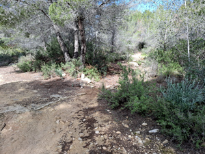
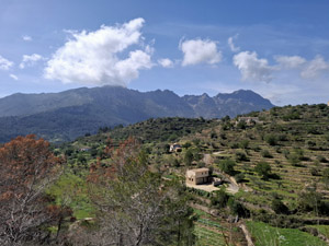
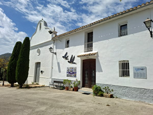
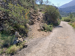
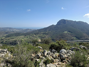
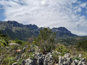
Lovely walk with two steady ascents which provide impressive views towards Sierra Bernia, Olta and the surrounding countryside. All on good tracks and paths with two Ermitas thrown in for good measure.
Spanish maps included within these descriptions are provided courtesy of the Spanish IGN and remain © Instituto Geográfico Nacional.
OSM (OpenStreetMap) and OCM (OpenCycleMap) maps are © OpenStreetMap Contributors. The OSM project welcomes contributions from all to enrich the map data, which is made freely available. Land (Thunderforest Landscape) maps are © Thunderforest based on data © OpenStreetMap contributors.
The grade of this walk is M/A, which means
M – Moderate: up to 12km in length, less than 400 metres ascent and less than 50% rough going.
A – All on good tracks
| Nearest town | Calpe |
| Directions to start |
From Benissa. At the new N332 roundabout take the second exit signposted CV749 to Pinos and then at the second roundabout follow signs to Pinos. After 1km take left towards Lleus. In Approx 2 kms at a fork in the road take right Cami de Lleus. At the next fork in the road at a stone monument take right and carry on until the Lleus Ermita where you park. |
| Start point (Lat/Long) | 38.679402, 0.013518 Click here to view in Google Maps (in a new browser tab) |
| Length (km) | 8.30 |
| Ascent (metres) | 330 |
| Walking time (hours) | 2 |
| Total time (hours) | 3.5 |
| Recommendations or Restrictions | None |
Download walk descriptionDownload GPS file
Comments
Tossal De Pinos — No Comments
HTML tags allowed in your comment: <a href="" title=""> <abbr title=""> <acronym title=""> <b> <blockquote cite=""> <cite> <code> <del datetime=""> <em> <i> <q cite=""> <s> <strike> <strong>