
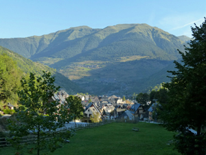
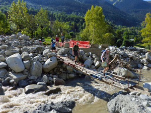
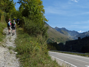
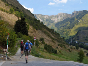
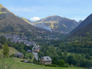
Vielha to Salardu
A walk along the valley with the opportunity to explore the towns that line its banks.
Spanish maps included within these descriptions are provided courtesy of the Spanish IGN and remain © Instituto Geográfico Nacional.
OSM (OpenStreetMap) and OCM (OpenCycleMap) maps are © OpenStreetMap Contributors. The OSM project welcomes contributions from all to enrich the map data, which is made freely available. Land (Thunderforest Landscape) maps are © Thunderforest based on data © OpenStreetMap contributors.
The grade of this walk is MS/A, which means
MS – Moderately Strenuous: Up to 600 metres ascent and/or no more than 15 km in length with some rough going taken at a reasonable pace.
A – All on good tracks
| Nearest town | Vielha |
| Directions to start |
Find the main square with the church in the old part of the town. Looking up the hill from the bridge crossing ths small river Carrer Major is the street to the RHS of the river. We take the street on the LHS of the river when looking up the hill. |
| Start point (Lat/Long) | 42.701677, 0.795429 Click here to view in Google Maps (in a new browser tab) |
| Length (km) | 13.70 |
| Ascent (metres) | 560 |
| Walking time (hours) | 4.00 |
| Total time (hours) | 5.00 |
| Recommendations or Restrictions |
Download walk descriptionDownload GPS file

Comments
Vielha to Salardu — No Comments
HTML tags allowed in your comment: <a href="" title=""> <abbr title=""> <acronym title=""> <b> <blockquote cite=""> <cite> <code> <del datetime=""> <em> <i> <q cite=""> <s> <strike> <strong>