
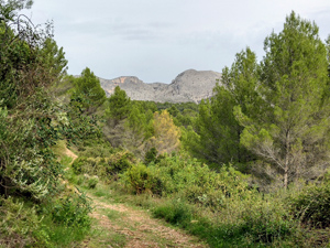
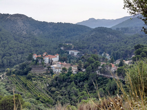
Murla, La Plana circuit
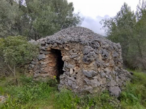
A circular route through some delightful countryside with extensive views of the surrounding mountains and down to the coast,includes a short scramble and several historic features ‘en route’.
Spanish maps included within these descriptions are provided courtesy of the Spanish IGN and remain © Instituto Geográfico Nacional.
OSM (OpenStreetMap) and OCM (OpenCycleMap) maps are © OpenStreetMap Contributors. The OSM project welcomes contributions from all to enrich the map data, which is made freely available. Land (Thunderforest Landscape) maps are © Thunderforest based on data © OpenStreetMap contributors.
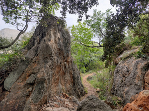
The grade of this walk is MS/C/Scr, which means
MS – Moderately Strenuous: Up to 600 metres ascent and/or no more than 15 km in length with some rough going taken at a reasonable pace.
C – More than half the route on rough ground.
Scr – Scrambling: This implies the need for handholds to ascend steep rock pitches with a sense of exposure to vertigo and where a slip could lead to a serious accident.
| Nearest town | Murla |
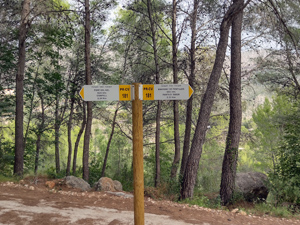
| Directions to start |
Follow CV750 Alcalali to Murla road, in Murla turn R to Cemetery Car park (signed ‘ P ‘) |
| Start point (Lat/Long) | 38.762357, -0.082113 Click here to view in Google Maps (in a new browser tab) |
| Length (km) | 12.25 |
| Ascent (metres) | 500 |
| Walking time (hours) | 4.00 |
| Total time (hours) | 5.5 |
| Recommendations or Restrictions | None |
Download walk descriptionDownload GPS file

Comments
Murla, La Plana circuit — No Comments
HTML tags allowed in your comment: <a href="" title=""> <abbr title=""> <acronym title=""> <b> <blockquote cite=""> <cite> <code> <del datetime=""> <em> <i> <q cite=""> <s> <strike> <strong>