
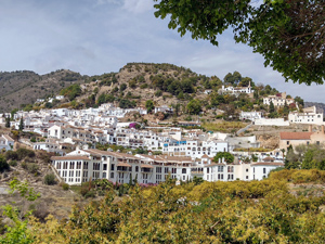
Rio Higueron, Acequia de Lisar / Levada figure of eight
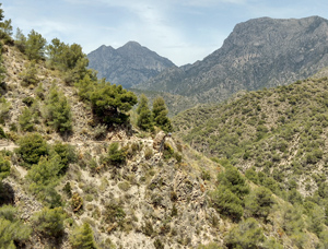
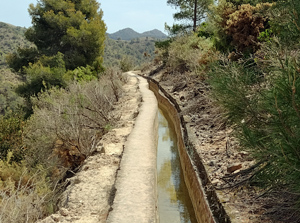
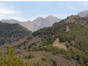
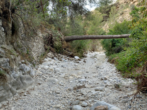
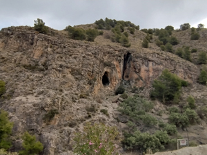
A scenic riverbed with a stairway beside a ‘cascade’, farmland, pine forest, a low ridge, a ‘levada’ walkway and return down through the old village streets.
Spanish maps included within these descriptions are provided courtesy of the Spanish IGN and remain © Instituto Geográfico Nacional.
OSM (OpenStreetMap) and OCM (OpenCycleMap) maps are © OpenStreetMap Contributors. The OSM project welcomes contributions from all to enrich the map data, which is made freely available. Land (Thunderforest Landscape) maps are © Thunderforest based on data © OpenStreetMap contributors.
The grade of this walk is MS/B, which means
MS – Moderately Strenuous: Up to 600 metres ascent and/or no more than 15 km in length with some rough going taken at a reasonable pace.
B – Less than half the route on rough ground
| Nearest town | Frigiliana |
| Directions to start |
Plaza del Ingenio (Palace of Counts) From A7 near Nerja take the MA-5105 to the centre of Frigiliana and park along street near Hotel Real |
| Start point (Lat/Long) | 36.791429, -3.894934 Click here to view in Google Maps (in a new browser tab) |
| Length (km) | 12.50 |
| Ascent (metres) | 400 |
| Walking time (hours) | 3.25 |
| Total time (hours) | 4.5 |
| Recommendations or Restrictions | A reasonable head for heights along the Levada |
Download walk descriptionDownload GPS file
Comments
Rio Higueron, Acequia de Lisar / Levada figure of eight — No Comments
HTML tags allowed in your comment: <a href="" title=""> <abbr title=""> <acronym title=""> <b> <blockquote cite=""> <cite> <code> <del datetime=""> <em> <i> <q cite=""> <s> <strike> <strong>