
Castell del Vall de Uixo
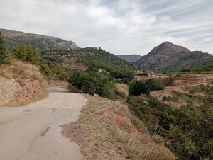
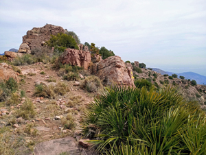
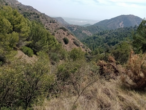
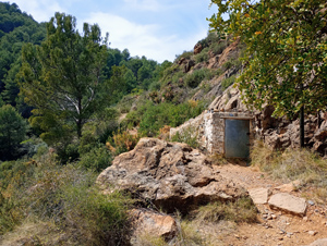
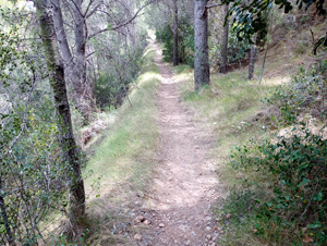
A challenging ascent up to the substantial castle remains before an easier walk around the head of a barranco with good views before returning to your start point.
Spanish maps included within these descriptions are provided courtesy of the Spanish IGN and remain © Instituto Geográfico Nacional.
OSM (OpenStreetMap) and OCM (OpenCycleMap) maps are © OpenStreetMap Contributors. The OSM project welcomes contributions from all to enrich the map data, which is made freely available. Land (Thunderforest Landscape) maps are © Thunderforest based on data © OpenStreetMap contributors.
The grade of this walk is MS/B, which means
MS – Moderately Strenuous: Up to 600 metres ascent and/or no more than 15 km in length with some rough going taken at a reasonable pace.
B – Less than half the route on rough ground
| Nearest town | Vall d’Uixo |
| Directions to start |
From junction 283 on the A7 (accessed from the S only) follow the carretera Moncofar NE around the town. This runs straight ahead into C/Andalucia and then C/Segorbe and then you turn R into Carbonnaire Carrer 12 just after a small park and large open area on your RHS and follow this to its end to park. |
| Start point (Lat/Long) | 39.833140, -0.230950 Click here to view in Google Maps (in a new browser tab) |
| Length (km) | 10.00 |
| Ascent (metres) | 560 |
| Walking time (hours) | 3 |
| Total time (hours) | 4 |
| Recommendations or Restrictions | Some awkward scrambling up and down to the castle. After that the going is straightforward. No walk timings available. |
Download walk descriptionDownload GPS file
Comments
Castell del Vall de Uixo — No Comments
HTML tags allowed in your comment: <a href="" title=""> <abbr title=""> <acronym title=""> <b> <blockquote cite=""> <cite> <code> <del datetime=""> <em> <i> <q cite=""> <s> <strike> <strong>