
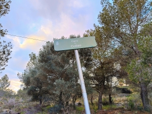
Lloma Larga (El Cau) ridge and summit circuit
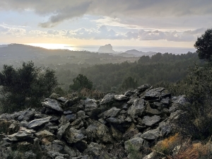
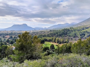
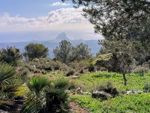
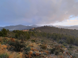
A long ascent to the summit of this popular ridge, crossing the hemispheres, consistent panoramic views of coast and mountains, and return at a lower level through an interesting hamlet.
Spanish maps included within these descriptions are provided courtesy of the Spanish IGN and remain © Instituto Geográfico Nacional.
OSM (OpenStreetMap) and OCM (OpenCycleMap) maps are © OpenStreetMap Contributors. The OSM project welcomes contributions from all to enrich the map data, which is made freely available. Land (Thunderforest Landscape) maps are © Thunderforest based on data © OpenStreetMap contributors.
The grade of this walk is M/C/Scr, which means
M – Moderate: up to 12km in length, less than 400 metres ascent and less than 50% rough going.
C – More than half the route on rough ground.
Scr – Scrambling: This implies the need for handholds to ascend steep rock pitches with a sense of exposure to vertigo and where a slip could lead to a serious accident.
| Nearest town | Senija |
| Directions to start |
From N332 Calpe to Benissa road at south side Benissa take turn to CV750 Jalon, near Km10 park on layby at LHS near info board for Benissa municipal Restauarant, Piscina and Tennis |
| Start point (Lat/Long) | 38.722818, 0.027938 Click here to view in Google Maps (in a new browser tab) |
| Length (km) | 9.50 |
| Ascent (metres) | 480 |
| Walking time (hours) | 3 hrs 25 |
| Total time (hours) | 4 hrs 15 |
| Recommendations or Restrictions | Not a walk for a wet or windy day, the scramble descent on rocky terrain needs concentration |
Download walk descriptionDownload GPS file
Comments
Lloma Larga (El Cau) ridge and summit circuit — No Comments
HTML tags allowed in your comment: <a href="" title=""> <abbr title=""> <acronym title=""> <b> <blockquote cite=""> <cite> <code> <del datetime=""> <em> <i> <q cite=""> <s> <strike> <strong>