
Alto de la Triguera and Collado de Valdeon from Fuente De
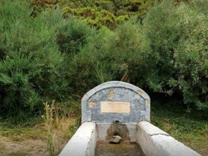
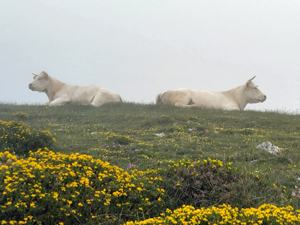
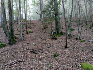
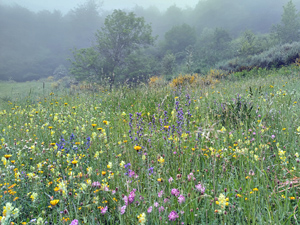
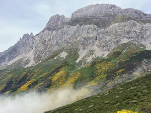
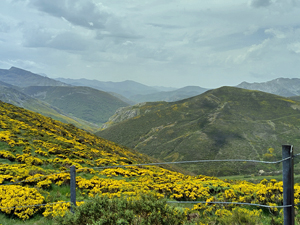
A challenging circuit starting up the Cantijon valley, crossing the Monte Valjierro and ascend to reach the Trig point of Alto de la Triguera, pass by Caben de Remona, Col de Valdeon and return mostly on tracks originally used by traders travelling to fairs and livestock markets. Extensive views of surrounding peaks and valleys with possible sightings of eagles, vultures, rebecos (chamois ) and a generous variety of wild flowers
Spanish maps included within these descriptions are provided courtesy of the Spanish IGN and remain © Instituto Geográfico Nacional.
OSM (OpenStreetMap) and OCM (OpenCycleMap) maps are © OpenStreetMap Contributors. The OSM project welcomes contributions from all to enrich the map data, which is made freely available. Land (Thunderforest Landscape) maps are © Thunderforest based on data © OpenStreetMap contributors.
The grade of this walk is VS/C, which means
VS – Very Strenuous: More than 800 metres ascent and/or more than 20km in length with steep, loose or heavily vegetated sections.
C – More than half the route on rough ground.
| Nearest town | Fuente De |
| Directions to start |
From Potes direction on CA185 turn R into main car park at baseof Fuente De Cable Car, park at far side. |
| Start point (Lat/Long) | 43.140000, -4.812400 Click here to view in Google Maps (in a new browser tab) |
| Length (km) | 16.00 |
| Ascent (metres) | 900 |
| Walking time (hours) | 6 |
| Total time (hours) | 6 |
| Recommendations or Restrictions | None |
Download walk descriptionDownload GPS file
Comments
Alto de la Triguera and Collado de Valdeon from Fuente De — No Comments
HTML tags allowed in your comment: <a href="" title=""> <abbr title=""> <acronym title=""> <b> <blockquote cite=""> <cite> <code> <del datetime=""> <em> <i> <q cite=""> <s> <strike> <strong>