
Benissa Gata circular
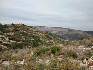
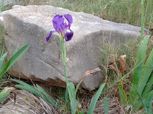
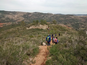
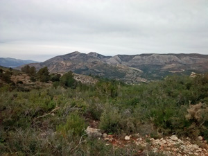
A wander around the hills between Benissa and Gata. Some lovely paths and sweeping views into the bigger mountains.
Spanish maps included within these descriptions are provided courtesy of the Spanish IGN and remain © Instituto Geográfico Nacional.
OSM (OpenStreetMap) and OCM (OpenCycleMap) maps are © OpenStreetMap Contributors. The OSM project welcomes contributions from all to enrich the map data, which is made freely available. Land (Thunderforest Landscape) maps are © Thunderforest based on data © OpenStreetMap contributors.
The grade of this walk is VS/B, which means
VS – Very Strenuous: More than 800 metres ascent and/or more than 20km in length with steep, loose or heavily vegetated sections.
B – Less than half the route on rough ground.
| Nearest town | Benissa |
| Directions to start |
From the N332 at its junction with the AP7, take the slip road towards the motorway and before reaching the toll gates take a R turn onto a minor road that runs along side the access road – signed to the Cementeri. |
| Start point (Lat/Long) | 38.741170, 0.054474 Click here to view in Google Maps (in a new browser tab) |
| Length (km) | 17.00 |
| Ascent (metres) | 820 |
| Walking time (hours) | 4.75 |
| Total time (hours) | 6.00 |
| Recommendations or Restrictions | Tricky navigation. Best to follow the gps track. |
Download walk descriptionDownload GPS file
Comments
Benissa Gata circular — No Comments
HTML tags allowed in your comment: <a href="" title=""> <abbr title=""> <acronym title=""> <b> <blockquote cite=""> <cite> <code> <del datetime=""> <em> <i> <q cite=""> <s> <strike> <strong>