
GR11 – Day 43. Oix to Albanya
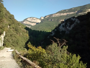
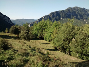
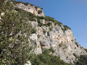
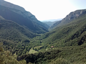
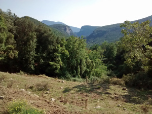
A long and demanding day not to be undertaken lightly. High ridges to cross, a famous ermita, lonely villages and a long and punishing concrete track descent to reach your final destination.
Spanish maps included within these descriptions are provided courtesy of the Spanish IGN and remain © Instituto Geográfico Nacional.
OSM (OpenStreetMap) and OCM (OpenCycleMap) maps are © OpenStreetMap Contributors. The OSM project welcomes contributions from all to enrich the map data, which is made freely available. Land (Thunderforest Landscape) maps are © Thunderforest based on data © OpenStreetMap contributors.
The grade of this walk is VS/B, which means
VS – Very Strenuous: More than 800 metres ascent and/or more than 20km in length with steep, loose or heavily vegetated sections.
B – Less than half the route on rough ground.
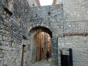
| Nearest town | Oix |
| Directions to start |
Using the N260 road which goes E – W to the S of the Pyrenean chain, take the A26 motorway section to reach Castellfollit de la Roca and then the GIV 5221 N to reach Oix. Can Pei (accommodation) is 1.5km to the NE of the village. |
| Start point (Lat/Long) | 42.275644, 2.541096 Click here to view in Google Maps (in a new browser tab) |
| Length (km) | 28.50 |
| Ascent (metres) | 1710 |
| Walking time (hours) | 6 |
| Total time (hours) | 9 |
| Recommendations or Restrictions |
Download walk descriptionDownload GPS file
Comments
GR11 – Day 43. Oix to Albanya — No Comments
HTML tags allowed in your comment: <a href="" title=""> <abbr title=""> <acronym title=""> <b> <blockquote cite=""> <cite> <code> <del datetime=""> <em> <i> <q cite=""> <s> <strike> <strong>