
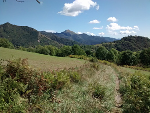
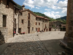
GR11 – Day 41. Mollo to Beget
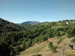
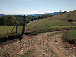
A pleasant walk across rolling and mainly forested hills with some views and features along the way.
Spanish maps included within these descriptions are provided courtesy of the Spanish IGN and remain © Instituto Geográfico Nacional.
OSM (OpenStreetMap) and OCM (OpenCycleMap) maps are © OpenStreetMap Contributors. The OSM project welcomes contributions from all to enrich the map data, which is made freely available. Land (Thunderforest Landscape) maps are © Thunderforest based on data © OpenStreetMap contributors.
The grade of this walk is M/B, which means
M – Moderate: up to 12km in length, less than 400 metres ascent and less than 50% rough going.
B – Less than half the route on rough ground
| Nearest town | Mollo |
| Directions to start |
From the N260 which runs broadly E to W on the S side of the Pyrenees, take the C38 to Camprodon and then the C38 to Mollo. |
| Start point (Lat/Long) | 42.346518, 2.404437 Click here to view in Google Maps (in a new browser tab) |
| Length (km) | 11.00 |
| Ascent (metres) | 380 |
| Walking time (hours) | 2.5 |
| Total time (hours) | 3.66 |
| Recommendations or Restrictions | None |
Download walk descriptionDownload GPS file
Comments
GR11 – Day 41. Mollo to Beget — No Comments
HTML tags allowed in your comment: <a href="" title=""> <abbr title=""> <acronym title=""> <b> <blockquote cite=""> <cite> <code> <del datetime=""> <em> <i> <q cite=""> <s> <strike> <strong>