
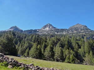
Portillon de Benasque from Llanos de Hospital
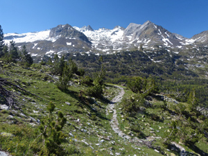
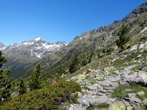
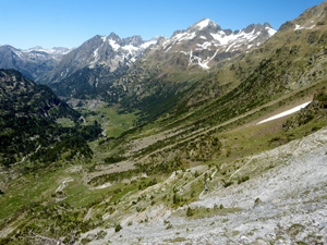
A challenging walk with great views in all directions.
Spanish maps included within these descriptions are provided courtesy of the Spanish IGN and remain © Instituto Geográfico Nacional.
OSM (OpenStreetMap) and OCM (OpenCycleMap) maps are © OpenStreetMap Contributors. The OSM project welcomes contributions from all to enrich the map data, which is made freely available. Land (Thunderforest Landscape) maps are © Thunderforest based on data © OpenStreetMap contributors.
The grade of this walk is S/B, which means
S – Strenuous: More than 600 metres ascent and/or more than 15km in length with steep, loose or heavily vegetated sections.
B – Less than half the route on rough ground.
| Nearest town | Benasque |
| Directions to start |
The N260 runs E-W along the central part of N Spain. From this find the A139 heading N to Benasque. Follow this road past Benasque for several kilometers to reach a turning on the R signed to Hospital de Benasque. Take this road past a large parking are on the LHS (you might have to park here and walk up to the hotel in high season) and a little way further on drop down to the parking area of the hotel on the LHS. You can normally park here with no difficulty if there is no barrier across. |
| Start point (Lat/Long) | 42.684089, 0.612481 Click here to view in Google Maps (in a new browser tab) |
| Length (km) | 11.50 |
| Ascent (metres) | 720 |
| Walking time (hours) | 4 |
| Total time (hours) | 6 |
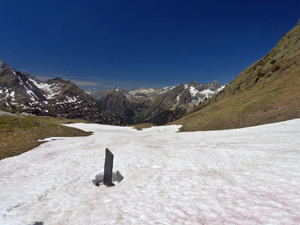
| Recommendations or Restrictions | Can be snow on the ground until mid to late June on the higher parts of this route. |
Download walk descriptionDownload GPS file

Comments
Portillon de Benasque from Llanos de Hospital — No Comments
HTML tags allowed in your comment: <a href="" title=""> <abbr title=""> <acronym title=""> <b> <blockquote cite=""> <cite> <code> <del datetime=""> <em> <i> <q cite=""> <s> <strike> <strong>