
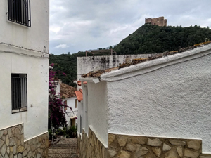
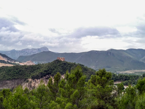
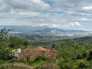
Forna circuit
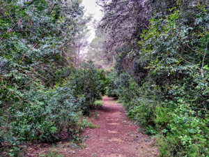
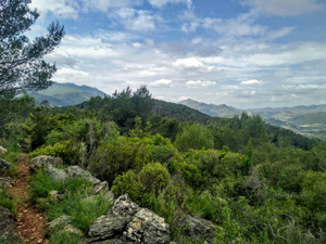
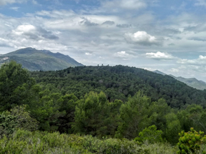
After the picturesque village of Forna we climb steeple up through woodland on a footpath followed by a wide forest track which leads to a steeply descending path (care needed) before taking more wooded paths with occasional wide ranging views which lead back to the village.
Spanish maps included within these descriptions are provided courtesy of the Spanish IGN and remain © Instituto Geográfico Nacional.
OSM (OpenStreetMap) and OCM (OpenCycleMap) maps are © OpenStreetMap Contributors. The OSM project welcomes contributions from all to enrich the map data, which is made freely available. Land (Thunderforest Landscape) maps are © Thunderforest based on data © OpenStreetMap contributors.
The grade of this walk is MS/B, which means
MS – Moderately Strenuous: Up to 600 metres ascent and/or no more than 15 km in length with some rough going taken at a reasonable pace.
B – Less than half the route on rough ground
| Nearest town | Forna |
| Directions to start |
From the coast road and motorway find the CV700 going to Pego. Follow this through Pego and then through Adsubia and soon after look for the CV717 on the RHS towards Forna. Follow this road to reach the car park on the LHS just at the entrance to the village. |
| Start point (Lat/Long) | 38.873406, -0.172272 Click here to view in Google Maps (in a new browser tab) |
| Length (km) | 8.30 |
| Ascent (metres) | 450 |
| Walking time (hours) | 3 |
| Total time (hours) | 4 |
| Recommendations or Restrictions | Some steep descents. |
Download walk descriptionDownload GPS file
Comments
Forna circuit — No Comments
HTML tags allowed in your comment: <a href="" title=""> <abbr title=""> <acronym title=""> <b> <blockquote cite=""> <cite> <code> <del datetime=""> <em> <i> <q cite=""> <s> <strike> <strong>