
Adsubia to Forna wander
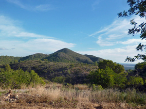
An alternative route for the CB Way and a good leg stretcher with a car shuffle before lunch in little visited terrain. Good views and forested hills.
Spanish maps included within these descriptions are provided courtesy of the Spanish IGN and remain © Instituto Geográfico Nacional.
OSM (OpenStreetMap) and OCM (OpenCycleMap) maps are © OpenStreetMap Contributors. The OSM project welcomes contributions from all to enrich the map data, which is made freely available. Land (Thunderforest Landscape) maps are © Thunderforest based on data © OpenStreetMap contributors.
The grade of this walk is MS/B, which means
MS – Moderately Strenuous: Up to 600 metres ascent and/or no more than 15 km in length with some rough going taken at a reasonable pace.
B – Less than half the route on rough ground
| Nearest town | Adsubia |
| Directions to start |
Follow CV700 from Pego to Adsubia. Towards the end of the village turn left at Bar Moleta and park where convenient. |
| Start point (Lat/Long) | 38.848227, -0.152022 Click here to view in Google Maps (in a new browser tab) |
| Length (km) | 7.50 |
| Ascent (metres) | 440 |
| Walking time (hours) | 2.33 |
| Total time (hours) | 3 |
| Recommendations or Restrictions | None |
Download walk descriptionDownload GPS file

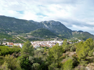
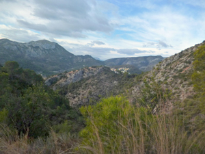
Great slightly challenging walk that ends by the Forna Castle and a wonderful hill side bar and BBQ restaurant. Well worth the walk and some stunning views to the coast.