
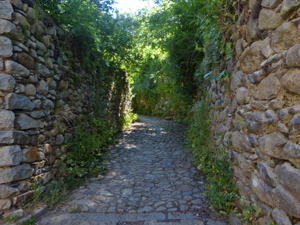
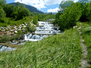
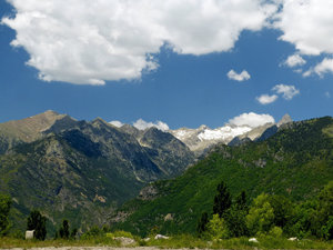
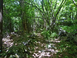
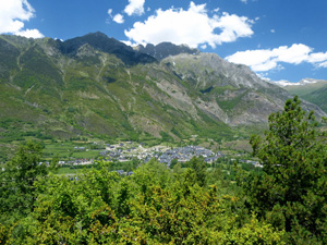
Ansiles to Cerler circuit
A mostly woodland walk on ancient tracks to the ski village of Cerler with occasional stunning views both up and down the Benas valley.
Spanish maps included within these descriptions are provided courtesy of the Spanish IGN and remain © Instituto Geográfico Nacional.
OSM (OpenStreetMap) and OCM (OpenCycleMap) maps are © OpenStreetMap Contributors. The OSM project welcomes contributions from all to enrich the map data, which is made freely available. Land (Thunderforest Landscape) maps are © Thunderforest based on data © OpenStreetMap contributors.
The grade of this walk is MS/A, which means
MS – Moderately Strenuous: Up to 600 metres ascent and/or no more than 15 km in length with some rough going taken at a reasonable pace.
A – All on good tracks
| Nearest town | Ansiles |
| Directions to start |
The N260 runs E-W along the central part of N Spain. From this find the A139 heading N to Benasque. As you reach Benasque continue through several roundabouts until you turn R to cross a bridge over the river. A few metres further turn R at a roundabout slightly downhill passing the Sommos hotel. Continue along this road to reach Ansiles and its parking area on the RHS. |
| Start point (Lat/Long) | 42.592356, 0.510790 Click here to view in Google Maps (in a new browser tab) |
| Length (km) | 9.00 |
| Ascent (metres) | 430 |
| Walking time (hours) | 2.66 |
| Total time (hours) | 3.75 |
| Recommendations or Restrictions | None |
Download walk descriptionDownload GPS file
Comments
Ansiles to Cerler circuit — No Comments
HTML tags allowed in your comment: <a href="" title=""> <abbr title=""> <acronym title=""> <b> <blockquote cite=""> <cite> <code> <del datetime=""> <em> <i> <q cite=""> <s> <strike> <strong>