
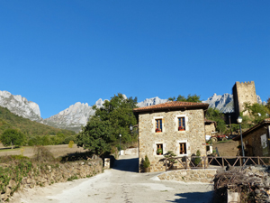
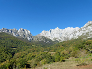
Bajo lo Picos from Mongrovejo
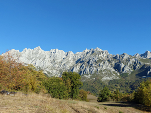
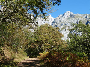
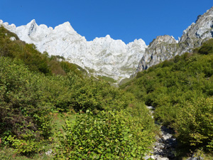
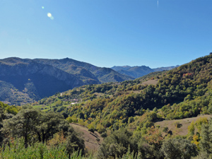
A walk on the flanks of the Eastern massif of the Picos de Europa through deciduous woodland with panoramic views above and out towards the far reaches of the Cordillera Cantabrica.
Spanish maps included within these descriptions are provided courtesy of the Spanish IGN and remain © Instituto Geográfico Nacional.
OSM (OpenStreetMap) and OCM (OpenCycleMap) maps are © OpenStreetMap Contributors. The OSM project welcomes contributions from all to enrich the map data, which is made freely available. Land (Thunderforest Landscape) maps are © Thunderforest based on data © OpenStreetMap contributors.
The grade of this walk is MS/A, which means
MS – Moderately Strenuous: Up to 600 metres ascent and/or no more than 15 km in length with some rough going taken at a reasonable pace.
A – All on good tracks
| Nearest town | Mongrovejo |
| Directions to start |
From Potes – one of the major villages in the Picos de Europa – take the CA185 for just over 9km towards Fuente De and look out for a R turn towards Mongrovejo. When you arrive at the village follow the “P” signs to the far end of the village and the ample parking space. (space for 20+ cars) |
| Start point (Lat/Long) | 43.147721, -4.708735 Click here to view in Google Maps (in a new browser tab) |
| Length (km) | 9.00 |
| Ascent (metres) | 440 |
| Walking time (hours) | 2.5 |
| Total time (hours) | 3.5 |
| Recommendations or Restrictions | None |
Download walk descriptionDownload GPS file
Comments
Bajo lo Picos from Mongrovejo — No Comments
HTML tags allowed in your comment: <a href="" title=""> <abbr title=""> <acronym title=""> <b> <blockquote cite=""> <cite> <code> <del datetime=""> <em> <i> <q cite=""> <s> <strike> <strong>