
Cueva del Agua, Santuario de Tiscar and La Pedriza
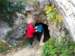
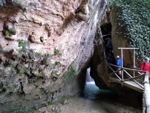
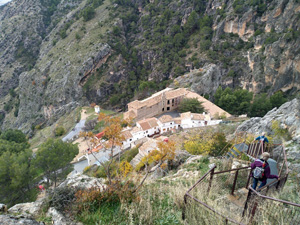
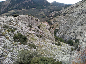
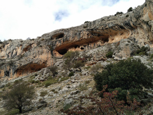
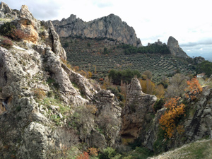
A “touristy” walk taking in the delights of the Cueva del Aqua, the monastery and the castle before walking up a valley to reach the summit of La Pedriza and an easy return along a track and road.
Spanish maps included within these descriptions are provided courtesy of the Spanish IGN and remain © Instituto Geográfico Nacional.
OSM (OpenStreetMap) and OCM (OpenCycleMap) maps are © OpenStreetMap Contributors. The OSM project welcomes contributions from all to enrich the map data, which is made freely available. Land (Thunderforest Landscape) maps are © Thunderforest based on data © OpenStreetMap contributors.
The grade of this walk is MS/B, which means
MS – Moderately Strenuous: Up to 600 metres ascent and/or no more than 15 km in length with some rough going taken at a reasonable pace.
B – Less than half the route on rough ground
| Nearest town | Tiscar |
| Directions to start |
From the A92N motorway which runs between Puerto Lumbreras and Granada take the A315 going N to just beyond Pozo Alcon and look out for a more minor road – A6206 – going towards Quesada and Tiscar. Follow this to the parking on the main road just below the Monasterio. |
| Start point (Lat/Long) | 37.768598, -3.023337 Click here to view in Google Maps (in a new browser tab) |
| Length (km) | 9.20 |
| Ascent (metres) | 460 |
| Walking time (hours) | 2.75 |
| Total time (hours) | 4.5 |
| Recommendations or Restrictions | None |
Download walk descriptionDownload GPS file
Comments
Cueva del Agua, Santuario de Tiscar and La Pedriza — No Comments
HTML tags allowed in your comment: <a href="" title=""> <abbr title=""> <acronym title=""> <b> <blockquote cite=""> <cite> <code> <del datetime=""> <em> <i> <q cite=""> <s> <strike> <strong>