
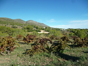
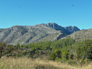
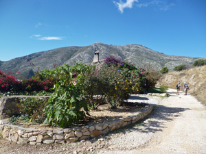
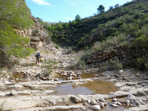
Dry Waterfall Walk
Lleus to Tossel de Pinos via Barranc with waterfall scramble.
Spanish maps included within these descriptions are provided courtesy of the Spanish IGN and remain © Instituto Geográfico Nacional.
OSM (OpenStreetMap) and OCM (OpenCycleMap) maps are © OpenStreetMap Contributors. The OSM project welcomes contributions from all to enrich the map data, which is made freely available. Land (Thunderforest Landscape) maps are © Thunderforest based on data © OpenStreetMap contributors.
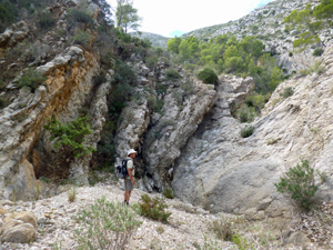
The grade of this walk is MS/C/Scr, which means
MS – Moderately Strenuous: Up to 600 metres ascent and/or no more than 15 km in length with some rough going taken at a reasonable pace.
C – More than half the route on rough ground.
Scr – Scrambling: This implies the need for handholds to ascend steep rock pitches with a sense of exposure to vertigo and where a slip could lead to a serious accident.
| Nearest town | Lleus |
| Directions to start |
From roundabout on N332 just north of Calpe near Km 170 Take Exit towards Lleus. As soon as you leave roundabout turn right along narrow lane towards Lleus. Ignore junctions to left and right. Pass under railway bridge. Follow signs to Lleus and park next to chapel (3.3km from N332 – 8 minutes) |
| Start point (Lat/Long) | 38.679402, 0.013518 Click here to view in Google Maps (in a new browser tab) |
| Length (km) | 13.00 |
| Ascent (metres) | 480 |
| Walking time (hours) | 3.66 |
| Total time (hours) | 4.75 |
| Recommendations or Restrictions | Need to be comfortable with easy scrambling. |
Download walk descriptionDownload GPS file
Comments
Dry Waterfall Walk — No Comments
HTML tags allowed in your comment: <a href="" title=""> <abbr title=""> <acronym title=""> <b> <blockquote cite=""> <cite> <code> <del datetime=""> <em> <i> <q cite=""> <s> <strike> <strong>