
Font de Vivens
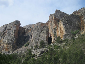
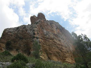
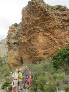
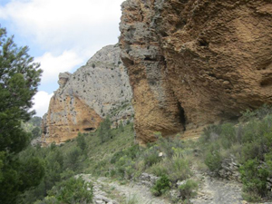
RV 112 Font de Vivens is a picnic site, reached by climbing up a barranco, returning down a different barranco. Y/W marked all the way.
Spanish maps included within these descriptions are provided courtesy of the Spanish IGN and remain © Instituto Geográfico Nacional.
OSM (OpenStreetMap) and OCM (OpenCycleMap) maps are © OpenStreetMap Contributors. The OSM project welcomes contributions from all to enrich the map data, which is made freely available. Land (Thunderforest Landscape) maps are © Thunderforest based on data © OpenStreetMap contributors.
The grade of this walk is S/A, which means
S – Strenuous: More than 600 metres ascent and/or more than 15km in length with steep, loose or heavily vegetated sections.
A – All good tracks.
| Nearest town | Xixona |
| Directions to start |
Leave Jijona towards Tibi on CV810. approx 0.7 km after traffic lights for narrow road,on a sharp left hand bend turn right into Calle Ibi. Y/W on lamppost and signs to Fonts. Follow road around to the L and Park outside the factory (Jijona SA) at the end of the road. |
| Start point (Lat/Long) | 38.547796, -0.509970 Click here to view in Google Maps (in a new browser tab) |
| Length (km) | 15.50 |
| Ascent (metres) | 820 |
| Walking time (hours) | 4.33 |
| Total time (hours) | 5.50 |
| Recommendations or Restrictions |
Download walk descriptionDownload GPS file
Comments
Font de Vivens — No Comments
HTML tags allowed in your comment: <a href="" title=""> <abbr title=""> <acronym title=""> <b> <blockquote cite=""> <cite> <code> <del datetime=""> <em> <i> <q cite=""> <s> <strike> <strong>