
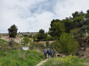
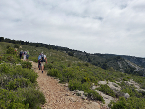
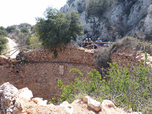
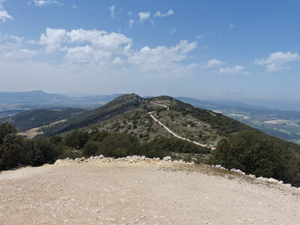
Menejador from Ibi
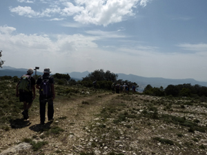
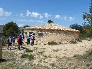
An attractive walk, with different climbing over bedrock as well as interesting features, over the summit of Menejador 1,352m. Walk commences at 750m PR-CV 26.
Spanish maps included within these descriptions are provided courtesy of the Spanish IGN and remain © Instituto Geográfico Nacional.
OSM (OpenStreetMap) and OCM (OpenCycleMap) maps are © OpenStreetMap Contributors. The OSM project welcomes contributions from all to enrich the map data, which is made freely available. Land (Thunderforest Landscape) maps are © Thunderforest based on data © OpenStreetMap contributors.
The grade of this walk is MS/B, which means
MS – Moderately Strenuous: Up to 600 metres ascent and/or no more than 15 km in length with some rough going taken at a reasonable pace.
B – Less than half the route on rough ground
| Nearest town | Ibi |
| Directions to start |
From centre of Ibi/Ajuntament take CV801 towards Banyeres and Font Roca for 700m to the exit sign for Ibi. Park on wasteland opposite large factory. |
| Start point (Lat/Long) | 38.633299, -0.573692 Click here to view in Google Maps (in a new browser tab) |
| Length (km) | 12.00 |
| Ascent (metres) | 700 |
| Walking time (hours) | 4.00 |
| Total time (hours) | 4.33 |
| Recommendations or Restrictions |
Download walk descriptionDownload GPS file
Comments
Menejador from Ibi — No Comments
HTML tags allowed in your comment: <a href="" title=""> <abbr title=""> <acronym title=""> <b> <blockquote cite=""> <cite> <code> <del datetime=""> <em> <i> <q cite=""> <s> <strike> <strong>