
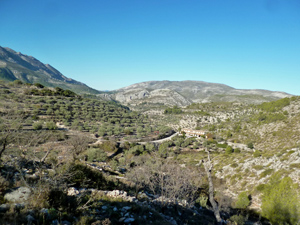
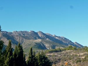
Foyes Valley Extended Anticlockwise
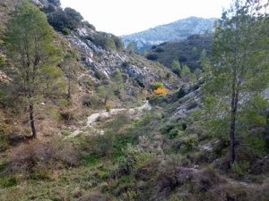
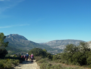
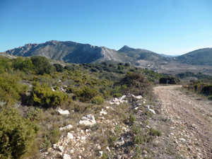
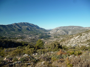
Varied circular walk along the Barranc de les Foies and up to La Llacuna, mostly on good tracks, with a short riverbed section and a nice mozarabic path back down to the cars.
Spanish maps included within these descriptions are provided courtesy of the Spanish IGN and remain © Instituto Geográfico Nacional.
OSM (OpenStreetMap) and OCM (OpenCycleMap) maps are © OpenStreetMap Contributors. The OSM project welcomes contributions from all to enrich the map data, which is made freely available. Land (Thunderforest Landscape) maps are © Thunderforest based on data © OpenStreetMap contributors.
The grade of this walk is MS/B, which means
MS – Moderately Strenuous: Up to 600 metres ascent and/or no more than 15 km in length with some rough going taken at a reasonable pace.
B – Less than half the route on rough ground
| Nearest town | Castell de Castells |
| Directions to start |
As you enter the village from the Benichembla direction on the CV720, take the 2nd left signed for the cemetery and immediately follow the road round to the left and proceed about 200m to the car park. |
| Start point (Lat/Long) | 38.727020, -0.193832 Click here to view in Google Maps (in a new browser tab) |
| Length (km) | 13.00 |
| Ascent (metres) | 460 |
| Walking time (hours) | 4 |
| Total time (hours) | 5 |
| Recommendations or Restrictions | None |
Download walk descriptionDownload GPS file
Probably a good walk but the GPX file is corrupted & only shows a single point of the route at the start,with no tracks at all, & the description only shows time & not distance so it’s extremely difficult to follow the route.
I downloaded the gps file and had no difficulty with it so not sure what happened for you. Glad you managed to find your way around.
Thanks for responding but I’ve just downloaded it again & Google Earth, as well as my Garmin, show a single point & no route at all.
FYI: I have used a number of your routes & all the GPX files were fine, just not this one.