
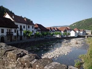
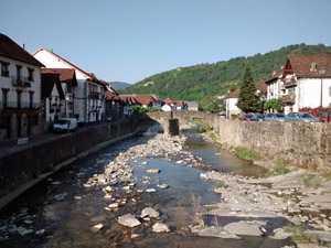
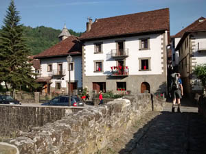
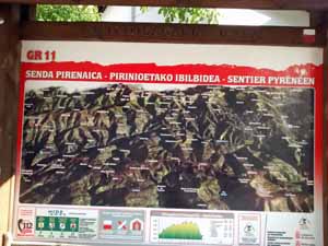
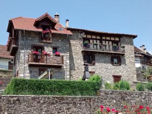
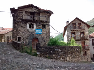
GR11 – Day 10. Ochagavia to Isaba
Rather boring in its early stages using wide forest track but redeemed by the open hills and vistas in the second half of the day.
Spanish maps included within these descriptions are provided courtesy of the Spanish IGN and remain © Instituto Geográfico Nacional.
OSM (OpenStreetMap) and OCM (OpenCycleMap) maps are © OpenStreetMap Contributors. The OSM project welcomes contributions from all to enrich the map data, which is made freely available. Land (Thunderforest Landscape) maps are © Thunderforest based on data © OpenStreetMap contributors.
The grade of this walk is VS/A, which means
VS – Very Strenuous: More than 800 metres ascent and/or more than 20km in length with steep, loose or heavily vegetated sections.
A – All on good tracks
| Nearest town | Ochagavia |
| Directions to start |
Ochagavia is situated slightly N of W from Pamplona close to the F/Sp border on the NA140 road where it briefly turns N to reach the junction of the rivers Anduna and Zatoia. |
| Start point (Lat/Long) | 42.905648, -1.089666 Click here to view in Google Maps (in a new browser tab) |
| Length (km) | 22.00 |
| Ascent (metres) | 810 |
| Walking time (hours) | 5.50 |
| Total time (hours) | 6.75 |
| Recommendations or Restrictions | None |
Download walk descriptionDownload GPS file
Comments
GR11 – Day 10. Ochagavia to Isaba — No Comments
HTML tags allowed in your comment: <a href="" title=""> <abbr title=""> <acronym title=""> <b> <blockquote cite=""> <cite> <code> <del datetime=""> <em> <i> <q cite=""> <s> <strike> <strong>