
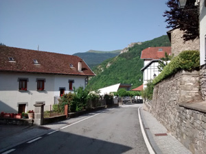
GR11 – Day 11. From Isaba to Zuriza.
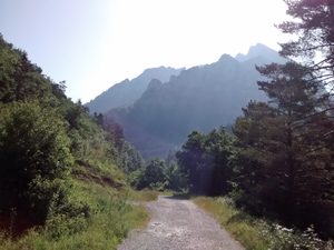
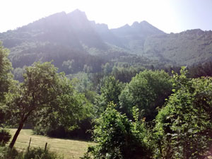
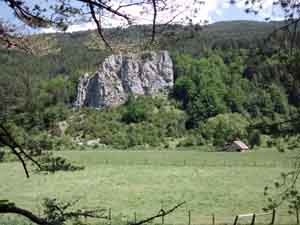
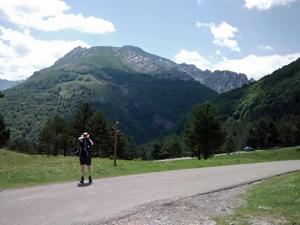
A track walk up through forest and a river narrows to run along the valley bottom in mixed meadows and forest to reach a col from where the open path runs down to Zuriza.
Spanish maps included within these descriptions are provided courtesy of the Spanish IGN and remain © Instituto Geográfico Nacional.
OSM (OpenStreetMap) and OCM (OpenCycleMap) maps are © OpenStreetMap Contributors. The OSM project welcomes contributions from all to enrich the map data, which is made freely available. Land (Thunderforest Landscape) maps are © Thunderforest based on data © OpenStreetMap contributors.
The grade of this walk is S/A, which means
S – Strenuous: More than 600 metres ascent and/or more than 15km in length with steep, loose or heavily vegetated sections.
A – All good tracks.
| Nearest town | Isaba |
| Directions to start |
Isaba is c.60km W of Pamplona near the F/Sp border. From the main road – N240 which runs E-W take the NA137 running N to Isaba. |
| Start point (Lat/Long) | 42.860485, -0.923638 Click here to view in Google Maps (in a new browser tab) |
| Length (km) | 17.00 |
| Ascent (metres) | 750 |
| Walking time (hours) | 4.25 |
| Total time (hours) | 5.00 |
| Recommendations or Restrictions | None |
Download walk descriptionDownload GPS file
Comments
GR11 – Day 11. From Isaba to Zuriza. — No Comments
HTML tags allowed in your comment: <a href="" title=""> <abbr title=""> <acronym title=""> <b> <blockquote cite=""> <cite> <code> <del datetime=""> <em> <i> <q cite=""> <s> <strike> <strong>