
GR11 – Day 4 Collado de Eskissaroi to Elizondo
An easier day starting from a high col across rolling hills. Allows time for eating, drinking and washing at your base!
Spanish maps included within these descriptions are provided courtesy of the Spanish IGN and remain © Instituto Geográfico Nacional.
OSM (OpenStreetMap) and OCM (OpenCycleMap) maps are © OpenStreetMap Contributors. The OSM project welcomes contributions from all to enrich the map data, which is made freely available. Land (Thunderforest Landscape) maps are © Thunderforest based on data © OpenStreetMap contributors.
The grade of this walk is M/A, which means
M – Moderate: up to 12km in length, less than 400 metres ascent and less than 50% rough going.
A – All on good tracks
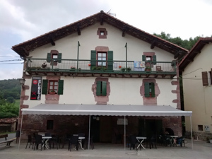
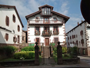
| Nearest town | Elizondo |
| Directions to start |
From Elizondo centre drive NE through the town and through Elbete to reach the N121B which you join to turn E then N. Continue for 11km to reach a junction with the NA4453 where you turn L. Follow this around many zig-zags for over 8km to reach the Collado de Eskissaroi. Alternatively arrange a taxi! |
| Start point (Lat/Long) | 43.217062, -1.551348 Click here to view in Google Maps (in a new browser tab) |
| Length (km) | 12.60 |
| Ascent (metres) | 380 |
| Walking time (hours) | 3.25 |
| Total time (hours) | 4.00 |
| Recommendations or Restrictions | None |
Download walk descriptionDownload GPS file
Comments
GR11 – Day 4 Collado de Eskissaroi to Elizondo — No Comments
HTML tags allowed in your comment: <a href="" title=""> <abbr title=""> <acronym title=""> <b> <blockquote cite=""> <cite> <code> <del datetime=""> <em> <i> <q cite=""> <s> <strike> <strong>