
GR11 – Day 3 – Bera to Collado de Eskisarroi
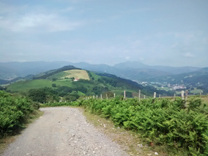
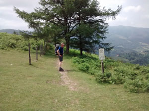
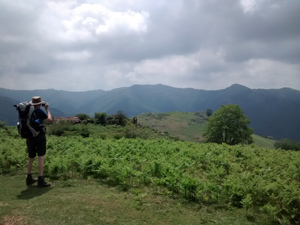
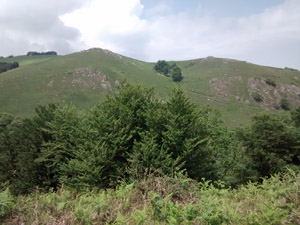
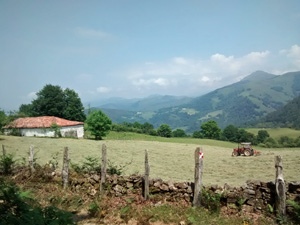
A great day’s walking across high hills with deciduous woods and expansive views N and W towards higher summits.
Spanish maps included within these descriptions are provided courtesy of the Spanish IGN and remain © Instituto Geográfico Nacional.
OSM (OpenStreetMap) and OCM (OpenCycleMap) maps are © OpenStreetMap Contributors. The OSM project welcomes contributions from all to enrich the map data, which is made freely available. Land (Thunderforest Landscape) maps are © Thunderforest based on data © OpenStreetMap contributors.
The grade of this walk is VS/A, which means
VS – Very Strenuous: More than 800 metres ascent and/or more than 20km in length with steep, loose or heavily vegetated sections.
A – All on good tracks
| Nearest town | Bera de Bidasoa |
| Directions to start |
From the N121 going either S or N take the NA8304 signed to the town of Bera de Bidasoa and where this meets the NA1310, start here. This is a “shortened” version of the GR11 and depends on you being able to pre-arrange either a car drop off or a taxi to meet you at the Collad de Eskisarroi. Thence either back to Bera or on to Elizondo for accommodation! |
| Start point (Lat/Long) | 43.279995, -1.688035 Click here to view in Google Maps (in a new browser tab) |
| Length (km) | 21.20 |
| Ascent (metres) | 1055 |
| Walking time (hours) | 5.50 |
| Total time (hours) | 7.00 |
| Recommendations or Restrictions | None |
Download walk descriptionDownload GPS file
Comments
GR11 – Day 3 – Bera to Collado de Eskisarroi — No Comments
HTML tags allowed in your comment: <a href="" title=""> <abbr title=""> <acronym title=""> <b> <blockquote cite=""> <cite> <code> <del datetime=""> <em> <i> <q cite=""> <s> <strike> <strong>