
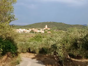
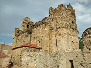
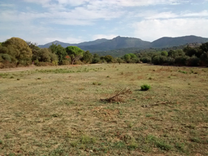
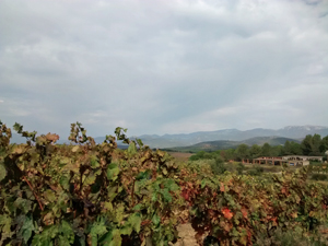
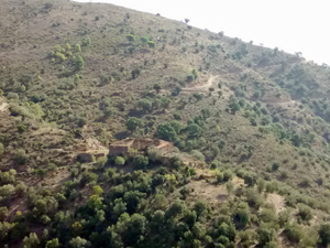
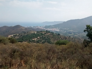
GR11 – Day 47. Espolla to Llanca
A reconnection with the GR11 official route across rolling hills with views out to higher mountain areas. Pleasant rather than demanding terrain.
Spanish maps included within these descriptions are provided courtesy of the Spanish IGN and remain © Instituto Geográfico Nacional.
OSM (OpenStreetMap) and OCM (OpenCycleMap) maps are © OpenStreetMap Contributors. The OSM project welcomes contributions from all to enrich the map data, which is made freely available. Land (Thunderforest Landscape) maps are © Thunderforest based on data © OpenStreetMap contributors.
The grade of this walk is VS/A, which means
VS – Very Strenuous: More than 800 metres ascent and/or more than 20km in length with steep, loose or heavily vegetated sections.
A – All on good tracks
| Nearest town | Espolla |
| Directions to start |
From the Figueres south exit of the AP7 find the N260 NE towards Llanca. Follow this to reach the C252 where you turn L (NW) towards Garriguella. Continue through Garriguella on the GI603 to reach Espolla. |
| Start point (Lat/Long) | 42.390585, 3.000768 Click here to view in Google Maps (in a new browser tab) |
| Length (km) | 18.50 |
| Ascent (metres) | 960 |
| Walking time (hours) | 4.25 |
| Total time (hours) | 5.33 |
| Recommendations or Restrictions | None |
Download walk descriptionDownload GPS file
Comments
GR11 – Day 47. Espolla to Llanca — No Comments
HTML tags allowed in your comment: <a href="" title=""> <abbr title=""> <acronym title=""> <b> <blockquote cite=""> <cite> <code> <del datetime=""> <em> <i> <q cite=""> <s> <strike> <strong>