
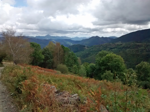
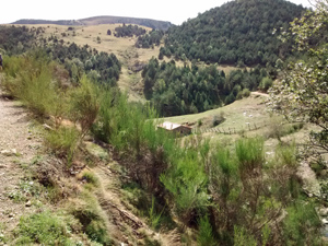
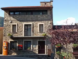
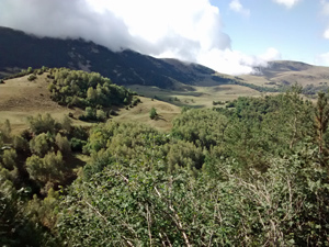
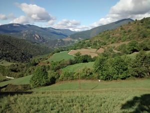
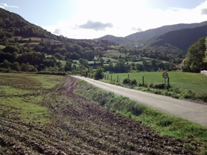
Ribes de Freser to Vilallonga de Ter
A high level traverse with an initial road walk followed by high pasture views and some fascinating villages.
Used by the author as an alternative to the GR11 route during bad weather. Replaces Nuria to Setcases.
Spanish maps included within these descriptions are provided courtesy of the Spanish IGN and remain © Instituto Geográfico Nacional.
OSM (OpenStreetMap) and OCM (OpenCycleMap) maps are © OpenStreetMap Contributors. The OSM project welcomes contributions from all to enrich the map data, which is made freely available. Land (Thunderforest Landscape) maps are © Thunderforest based on data © OpenStreetMap contributors.
The grade of this walk is VS/B, which means
VS – Very Strenuous: More than 800 metres ascent and/or more than 20km in length with steep, loose or heavily vegetated sections.
B – Less than half the route on rough ground.
| Nearest town | Ribes de Freser |
| Directions to start |
From the N outskirts of Barcelona the C17 road runs N past Vic and Ripoll where it gives out to the N260 road. Follow this for some 14km to reach the village of Ribes de Freser. |
| Start point (Lat/Long) | 42.306062, 2.167840 Click here to view in Google Maps (in a new browser tab) |
| Length (km) | 21.50 |
| Ascent (metres) | 1100 |
| Walking time (hours) | 4.25 |
| Total time (hours) | 6 |
| Recommendations or Restrictions | None |
Download walk descriptionDownload GPS file
Comments
Ribes de Freser to Vilallonga de Ter — No Comments
HTML tags allowed in your comment: <a href="" title=""> <abbr title=""> <acronym title=""> <b> <blockquote cite=""> <cite> <code> <del datetime=""> <em> <i> <q cite=""> <s> <strike> <strong>