
La Foradada circuit from Lligallo de Miralles
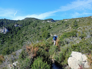
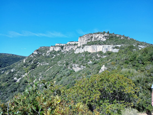
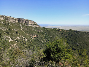
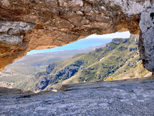
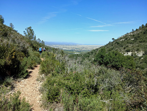
A pleasant walk along open ridges and low scrub to the Foradada – a large hole in the rock at a summit at 682m.
Spanish maps included within these descriptions are provided courtesy of the Spanish IGN and remain © Instituto Geográfico Nacional.
OSM (OpenStreetMap) and OCM (OpenCycleMap) maps are © OpenStreetMap Contributors. The OSM project welcomes contributions from all to enrich the map data, which is made freely available. Land (Thunderforest Landscape) maps are © Thunderforest based on data © OpenStreetMap contributors.
The grade of this walk is MS/B, which means
MS – Moderately Strenuous: Up to 600 metres ascent and/or no more than 15 km in length with some rough going taken at a reasonable pace.
B – Less than half the route on rough ground
| Nearest town | Amposta |
| Directions to start |
Travelling S to N on the N340 pass the junction of the TV3406 at the N end of La Rapita and continue for 3.3km to find a sign on the RHS to Lligallo de Forcheron. Here turn L to pass a large white agricultural building and continue up this road to find roadside parking. |
| Start point (Lat/Long) | 40.662220, 0.561480 Click here to view in Google Maps (in a new browser tab) |
| Length (km) | 11.50 |
| Ascent (metres) | 560 |
| Walking time (hours) | 3.66 |
| Total time (hours) | 5 |
| Recommendations or Restrictions | None |
Download walk descriptionDownload GPS file
Comments
La Foradada circuit from Lligallo de Miralles — No Comments
HTML tags allowed in your comment: <a href="" title=""> <abbr title=""> <acronym title=""> <b> <blockquote cite=""> <cite> <code> <del datetime=""> <em> <i> <q cite=""> <s> <strike> <strong>