
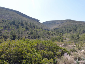
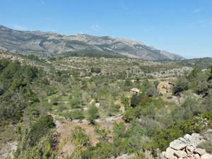
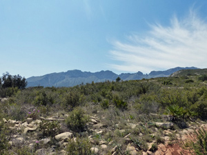
Les Planises from near Jalon
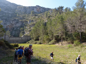
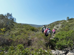
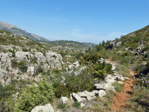
An interesting walk generally along good paths but with a section of rougher barranco walking which adds interest for a short while after the 2.4km marker.
Spanish maps included within these descriptions are provided courtesy of the Spanish IGN and remain © Instituto Geográfico Nacional.
OSM (OpenStreetMap) and OCM (OpenCycleMap) maps are © OpenStreetMap Contributors. The OSM project welcomes contributions from all to enrich the map data, which is made freely available. Land (Thunderforest Landscape) maps are © Thunderforest based on data © OpenStreetMap contributors.
The grade of this walk is MS/B, which means
MS – Moderately Strenuous: Up to 600 metres ascent and/or no more than 15 km in length with some rough going taken at a reasonable pace.
B – Less than half the route on rough ground
| Nearest town | Jalon |
| Directions to start |
From the CV750 in the middle of Jalon, turn S onto the CV749 and drive to just past the 2km marker. On the way you pass a house with a sign “Casa Bytrees” and just after this on the LHS is a track with fingerpost to Casas Bernia. Park here either at the side of the road or on the initial part of the track. |
| Start point (Lat/Long) | 38.727441, -0.018578 Click here to view in Google Maps (in a new browser tab) |
| Length (km) | 13.00 |
| Ascent (metres) | 450 |
| Walking time (hours) | 4.00 |
| Total time (hours) | 5.00 |
| Recommendations or Restrictions | None |
Download walk descriptionDownload GPS file
Comments
Les Planises from near Jalon — No Comments
HTML tags allowed in your comment: <a href="" title=""> <abbr title=""> <acronym title=""> <b> <blockquote cite=""> <cite> <code> <del datetime=""> <em> <i> <q cite=""> <s> <strike> <strong>