
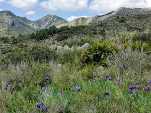
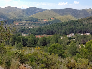
Lliber, Tossal Pla and Muntanyet circuit
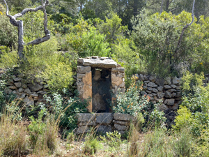
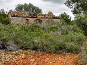
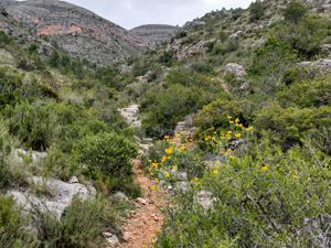
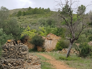
An interesting route on mozz arabic paths, low rise ridges with extensive views, hunters trails, a tranquil barranco, vine fields and numerous ruins and wells en route.
Spanish maps included within these descriptions are provided courtesy of the Spanish IGN and remain © Instituto Geográfico Nacional.
OSM (OpenStreetMap) and OCM (OpenCycleMap) maps are © OpenStreetMap Contributors. The OSM project welcomes contributions from all to enrich the map data, which is made freely available. Land (Thunderforest Landscape) maps are © Thunderforest based on data © OpenStreetMap contributors.
The grade of this walk is S/C, which means
S – Strenuous: More than 600 metres ascent and/or more than 15km in length with steep, loose or heavily vegetated sections.
C – More than half the route on rough ground.
| Nearest town | Lliber |
| Directions to start |
Lliber is on the CV745 between Jalon and Gata. From CV745 in centre of Lliber turn into Travessia El Pla( narrow street ) and take next L into car park .This NOT the car park with a green covered roof. |
| Start point (Lat/Long) | 38.741875, 0.007650 Click here to view in Google Maps (in a new browser tab) |
| Length (km) | 14.00 |
| Ascent (metres) | 625 |
| Walking time (hours) | 4.75 |
| Total time (hours) | 5.5 |
| Recommendations or Restrictions | Note that GPX track starts a little way from the parking area. |
Download walk descriptionDownload GPS file
Comments
Lliber, Tossal Pla and Muntanyet circuit — No Comments
HTML tags allowed in your comment: <a href="" title=""> <abbr title=""> <acronym title=""> <b> <blockquote cite=""> <cite> <code> <del datetime=""> <em> <i> <q cite=""> <s> <strike> <strong>